
Map
1700A new map of the eastern parts of Asia Minor
Map detailing the eastern regions of Asia Minor from 1700.
Closest kin
Map
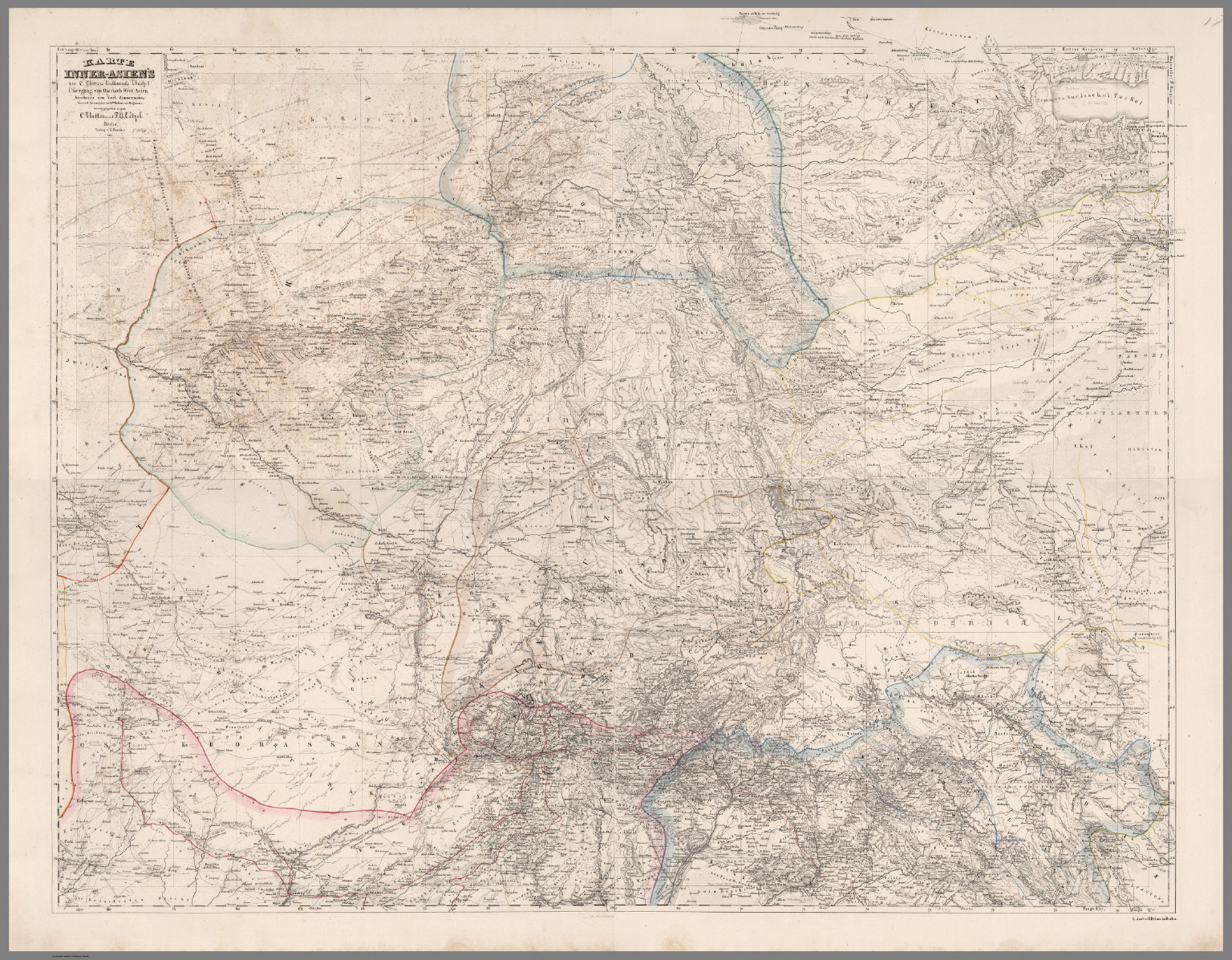
Composite Map: Inner-Asia.

Map
A new map of the German Empire, and the neighbouring states with their principal post roads, originally published by the Royal Academy of Berlin. (1)

Map
Map of Europe : A.D. 1200.
Map
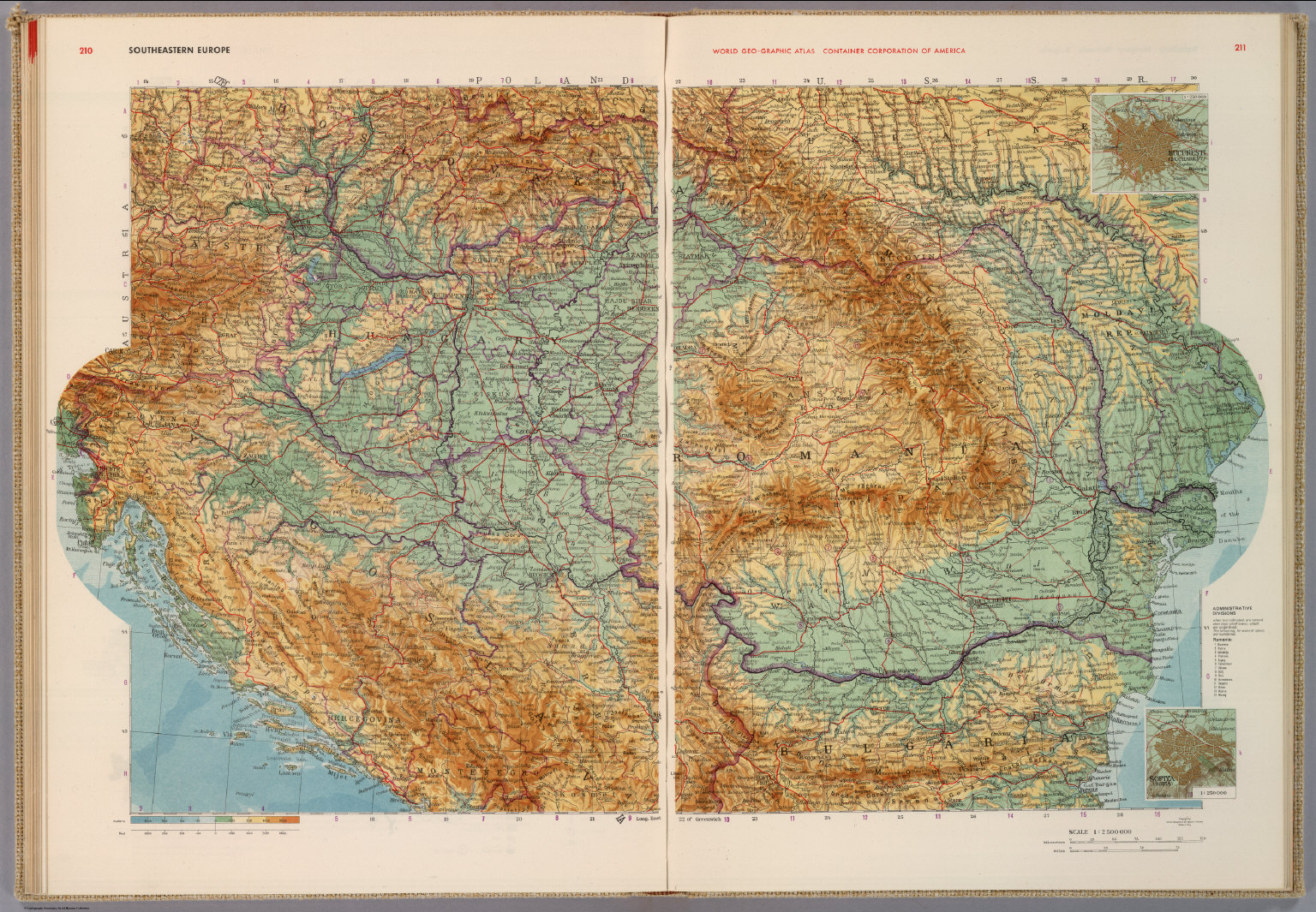
Southeastern Europe.

Map
Map of Europe : A.D. 1000.

Map
Southern Balkans and Aegean Sea. Greece.

Map
Jamaica from the latest surveys.

Map
fol. 136b Western part of the Peloponnese peninsula opposite the island of Zakynthos (Zante, Zākīse)