
Map
1519Folio 2 Recto, Northeastern Atlantic Ocean and Northern Europe
Map of the Northeastern Atlantic Ocean and Northern Europe from 1519.
Closest kin

Map
Folio 6 Recto, North Atlantic Ocean.
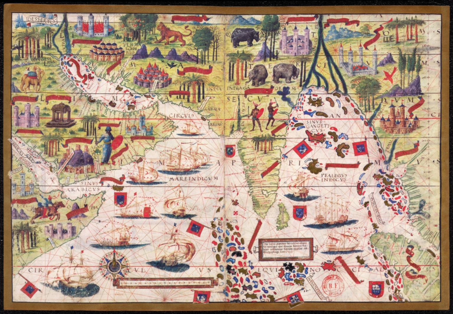
Map
Folio 3 Recto, Northern Indian Ocean with Arabia and India

Map
fol. 193a Fortresses and towns south of Ancona, including Loreto

Map
fol. 337b Islands off the coast of Finike
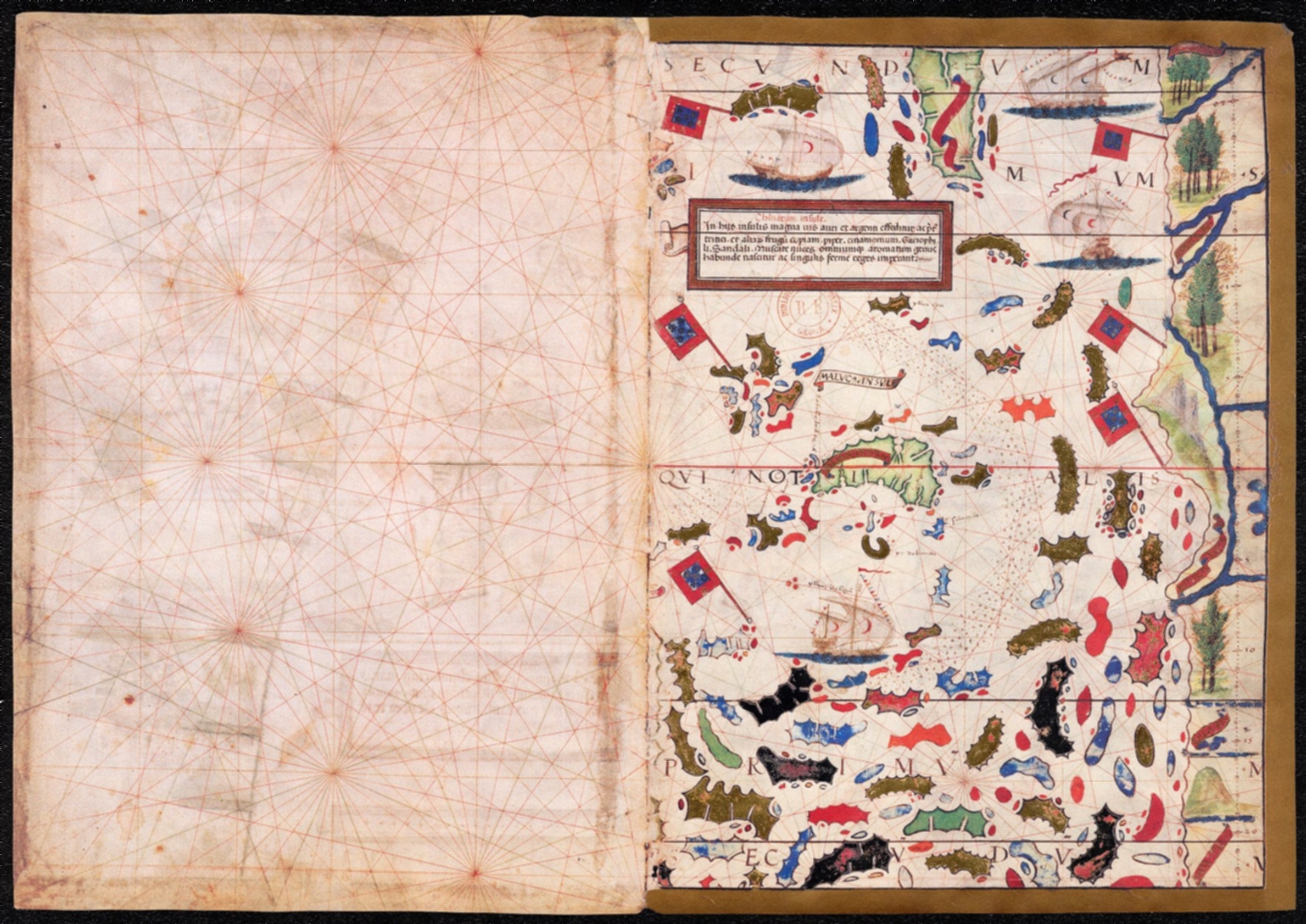
Map
Folio 4 Recto, Magnus Sinus

Map
Facsimile: World by Finaeus.
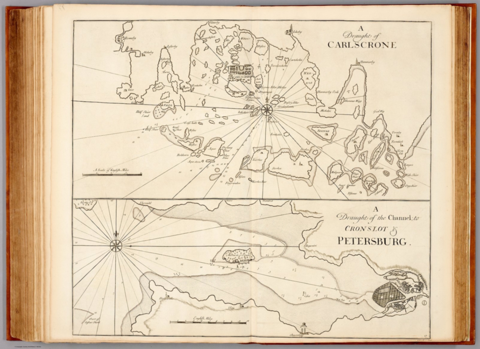
Map
A draught of Carlscrone ...

Map
Blat CXXII Fenss (Geneva) (Nuremberg Chronicle)