
Map
1944Index: List of Maps (continued). Look At The World
The image is a dense, highly structured index or catalog page, typical of a large reference book or atlas. It consists of multiple columns of text, organized into rows, listing names, locations, and corresponding page numbers. The layout is purely functional and informational.
Printed typography, likely using letterpress or early offset printing techniques. The text is uniform and highly regimented, characteristic of academic or governmental publications.
Closest kin

Map
Table of Contents: Hammond's New World Atlas.
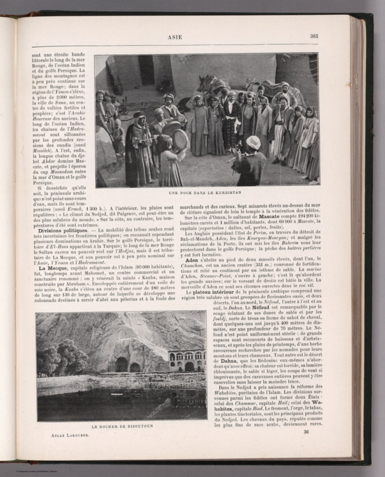
Map
Text: Asie.

Map
Covers/Text: Etymologial Map World Atlas of True Names
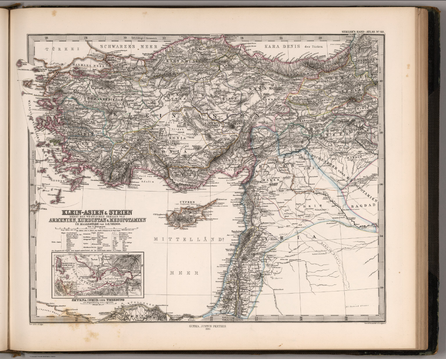
Map
Klein-Asien & Syrien, Armenien, Kurdistan & Mesopotamien (Asia Minor, Syria, Kurdistan, Mesopotamia).

Map
Index Map and Sectional Title Page: Atlas of Palestine and the Sinai Peninsula.
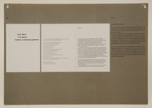
Publication
H catalog (Werkbund box Good typography, display board)

Publication
Publication: A book documenting the epic visual history of Massive Attack
New Logo and Identity for Index Press by Koto
Brand
New Logo and Identity for Index Press by Koto