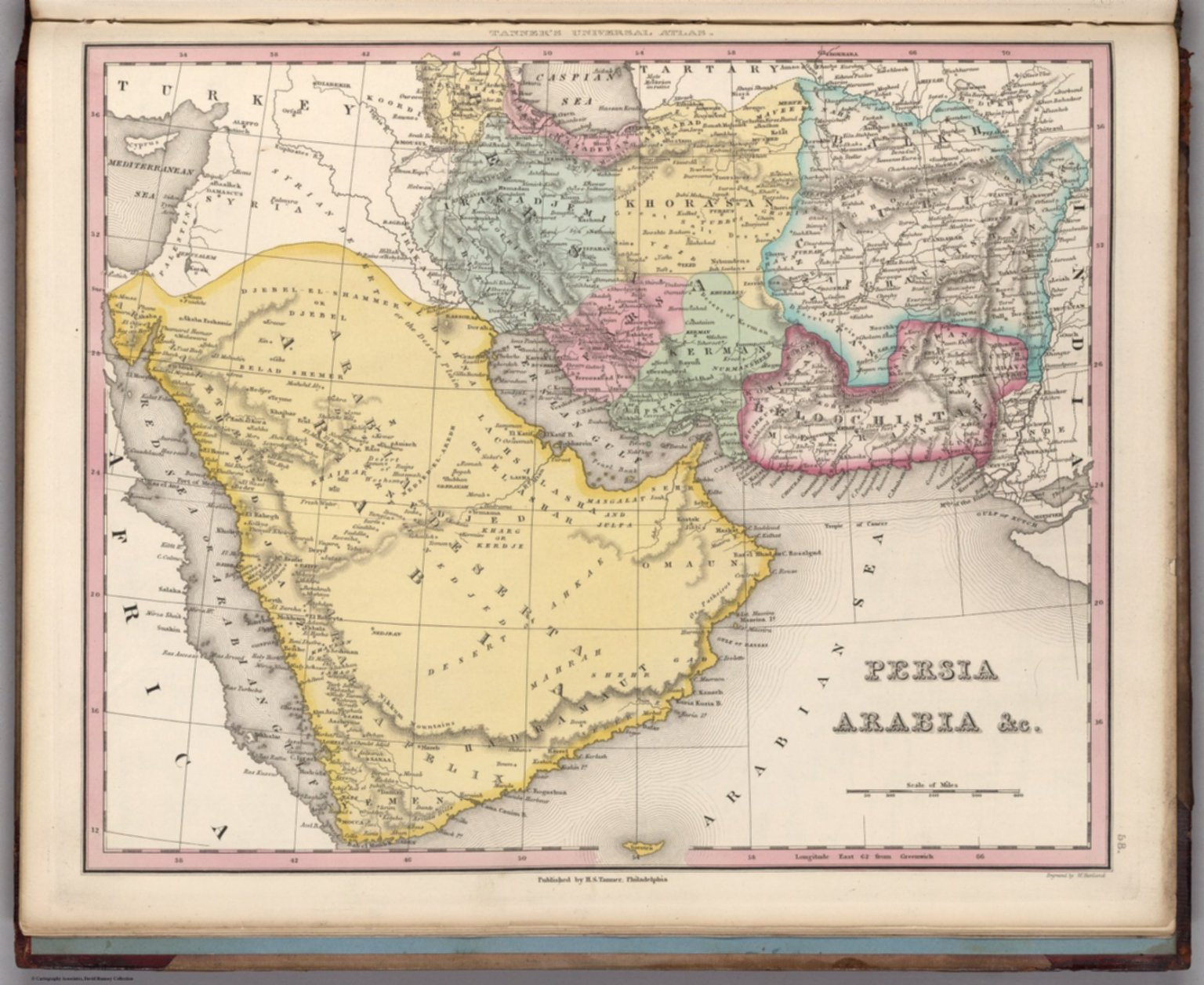
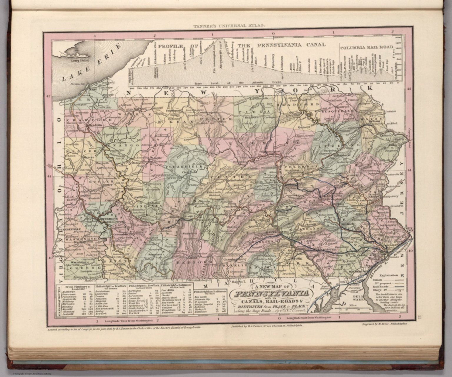
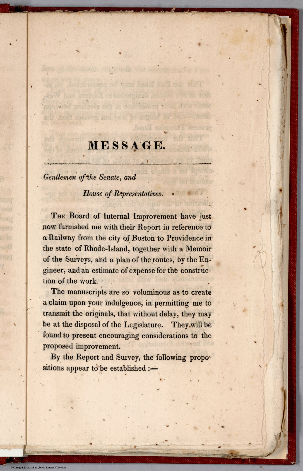
Graphic/Map·1827Drift →Map1827Map No. V. Mesopotamia Assyria, Babylonia ChaldeaMap depicting Mesopotamia, Assyria, Babylonia, and Chaldea from 1827. Closest kinMapPersia, Arabia &c.MapPennsylvania.MapText Page: MessageMapA new map of the German Empire, and the neighbouring states with their principal post roads, originally published by the Royal Academy of Berlin. (1)MapMap of Europe : A.D. 1000.