Map
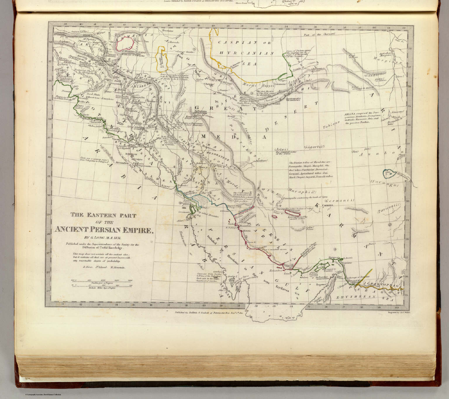
1831Persian Empire, eastern.
A detailed, hand-colored historical map depicting the geographical extent of the ancient Persian Empire. The composition is highly structured, utilizing cartographic conventions, including latitude and longitude lines, labeled regions, and topographical details. The overall layout is dense and informational.
Engraving or lithography, hand-colored. The style is typical of late 19th or early 20th-century academic cartography, characterized by fine line work and muted, earthy color washes.


