Map
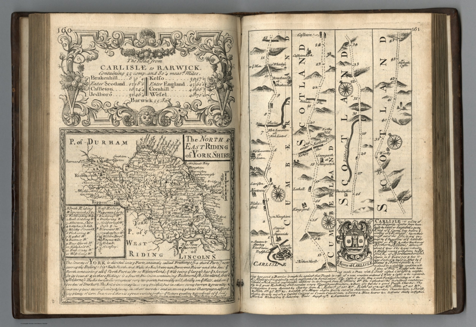
1720Road from Carlisle to Rarwick (Barwick). North & East Riding of Yorkshire.
Map depicting the road from Carlisle to Barwick in the North and East Riding of Yorkshire, created in 1720.
Closest kin

Map
A new map of the German Empire, and the neighbouring states with their principal post roads, originally published by the Royal Academy of Berlin. (1)
Map
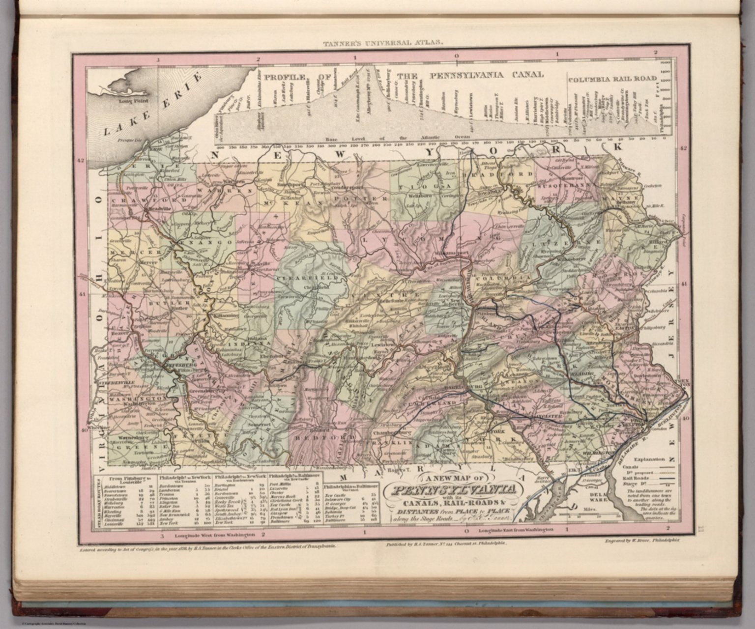
Pennsylvania.
![No. 58.] Blackfriars Road, Division II.](https://media.davidrumsey.com/MediaManager/srvr?mediafile=/Size4/RUMSEY~8~1/179/14002500.jpg)
Map
No. 58.] Blackfriars Road, Division II.
Map
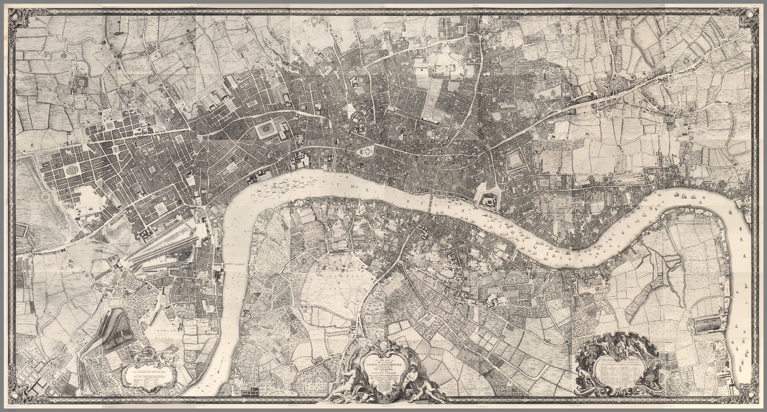
Composite Map: (Facsimile) Rocque's Map of London. 1746.

Poster
Hornsea Town Hall Burton Road