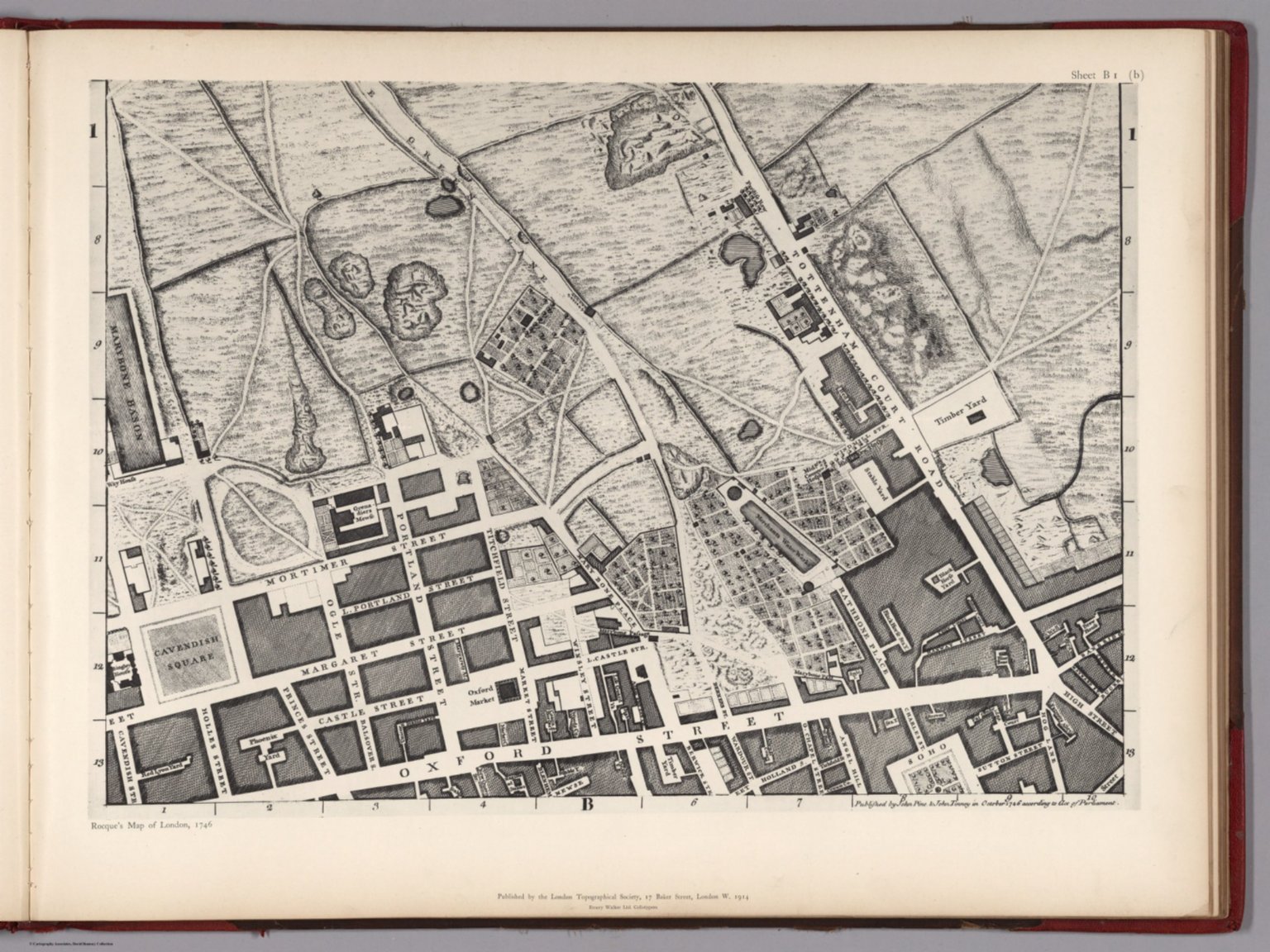
Graphic/Map·1746Drift →Map1746Sheet B 1 (b).Map of the British Isles from 1746. Closest kinMapSheet G 2 (b).MapSheet G 3 (b).MapSheet G 1 (a).MapAn accurate chart of the Bay of Biscay, with the soundings taken in 1756 & 1757.MapPlan of Cape Breton.MapA Map of the British Empire in America. (Sheet 4).MapNew Map of London.MapText: 78a. America (continued). 79. New Hispanien.