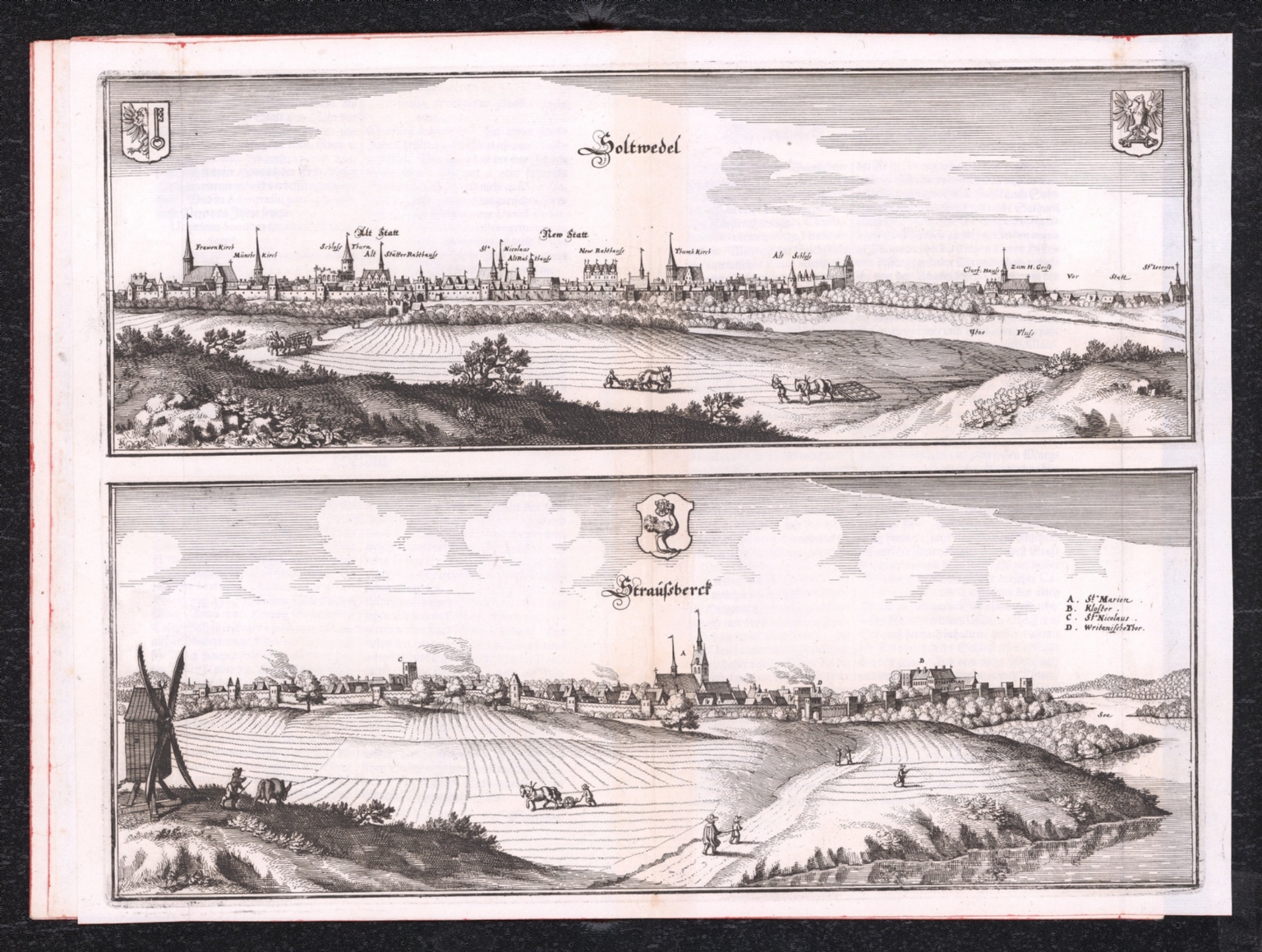
Graphic/Map·1652Drift →Map1652Soltwedel (with) StraußberckMap from 1652 depicting territorial boundaries of various regions. Closest kinMapStendalia Stendel (with) Verasborck In der Vcker MarcktMapSobernheim (with) Sponheim ClosterMapKeiserl. Freyen Reichs und Ansee Stadt Bremen.MapText: Ta. Ter. Sancte.