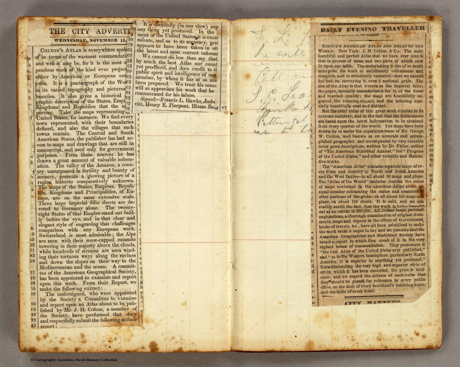
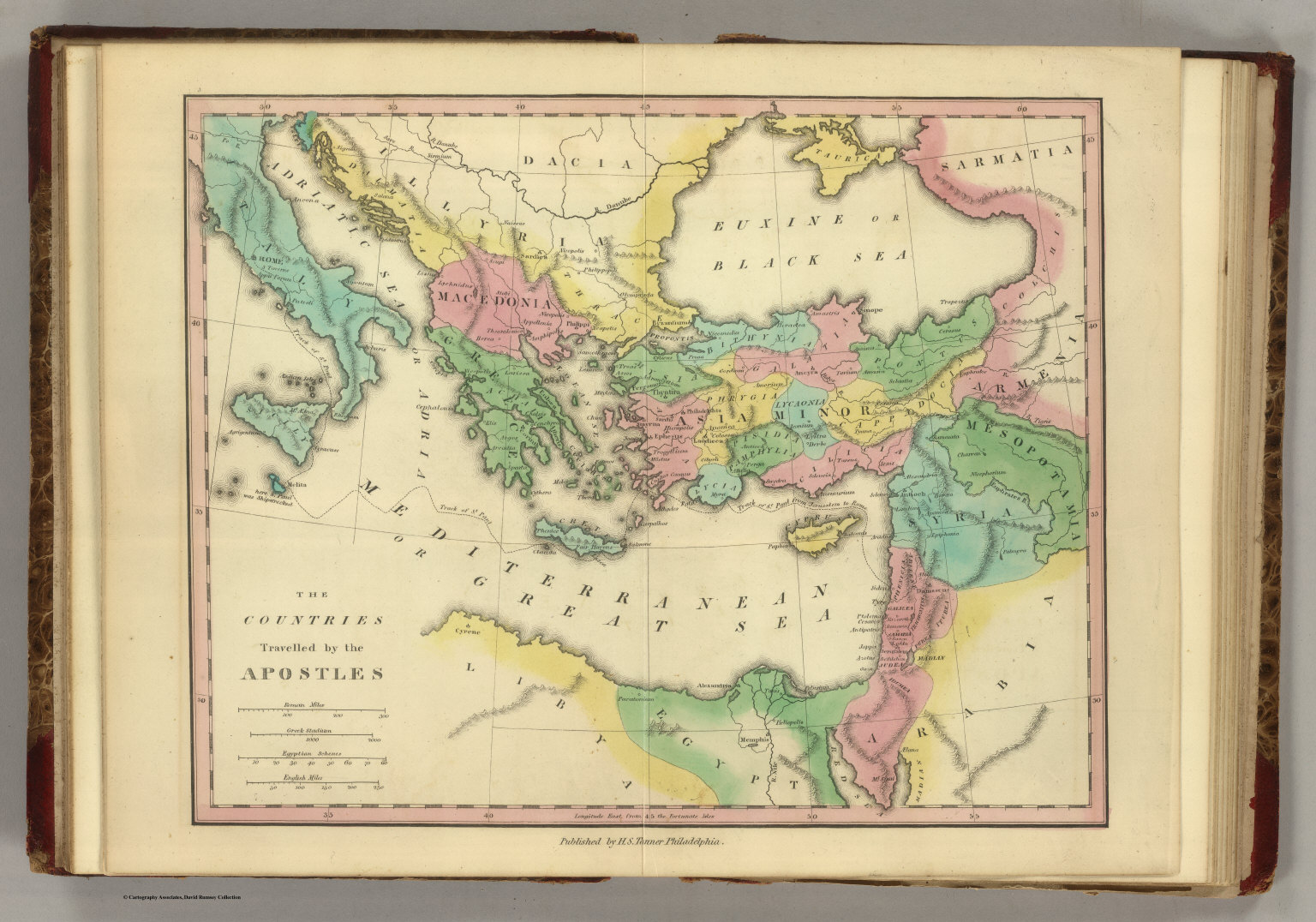
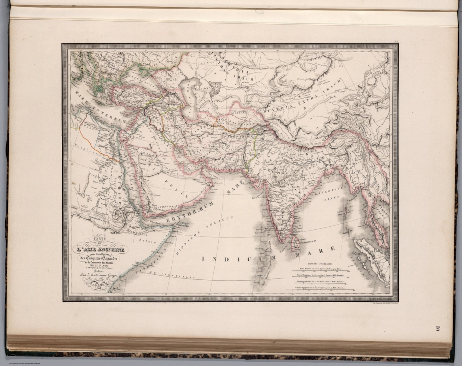
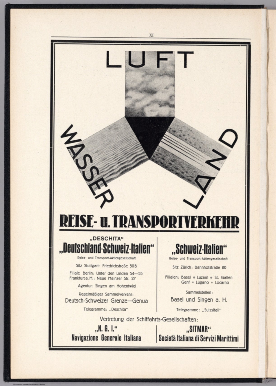
Graphic/Map·1854Drift →Map1854Subscribers to Colton's American Atlas.Map from Subscribers to Colton's American Atlas published in 1854. Closest kinMapText: Panorama from the Summit of Mount Davidson, Washoe Range.MapCountries Traveled by the Apostles. (1826)MapCarte de L'Asie Ancienne.MapIndex Page (2): Consulting Index for the Ancient MapsMapXI Text: Advertisement.MapPanorama from the Summit of Mount Davidson, Washoe Range.