
Map
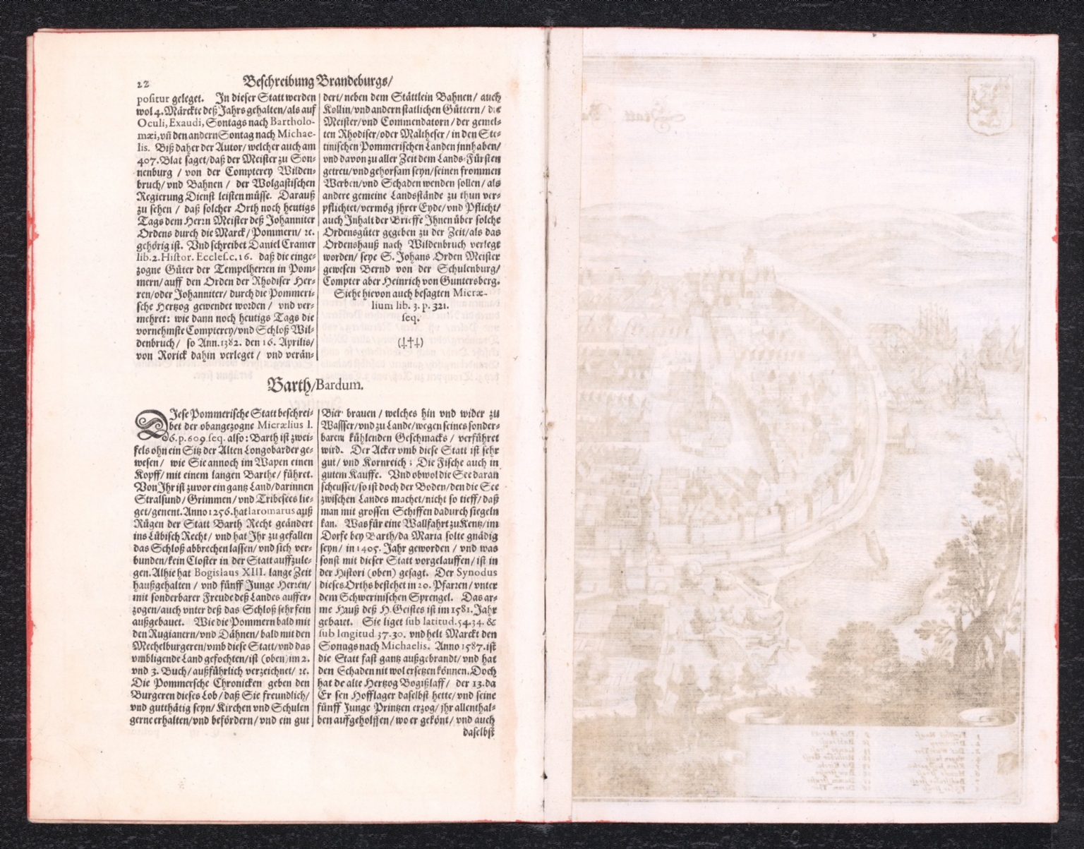
1652Text: M.Z. Topographia electorat Brandenburgici et ducatus Pomeraniae. &c., das ist
Map depicting the Electorate of Brandenburg and Duchy of Pomerania from 1652.
Closest kin

Map
Text: M.Z. Topographia electorat Brandenburgici et ducatus Pomeraniae. &c., das ist
Map
Text: M.Z. Topographia electorat Brandenburgici et ducatus Pomeraniae. &c., das ist
Map
Text Page: Perse

Map
A new map of the German Empire, and the neighbouring states with their principal post roads, originally published by the Royal Academy of Berlin. (2)

Map
A new map of the German Empire, and the neighbouring states with their principal post roads, originally published by the Royal Academy of Berlin. (1)
Map
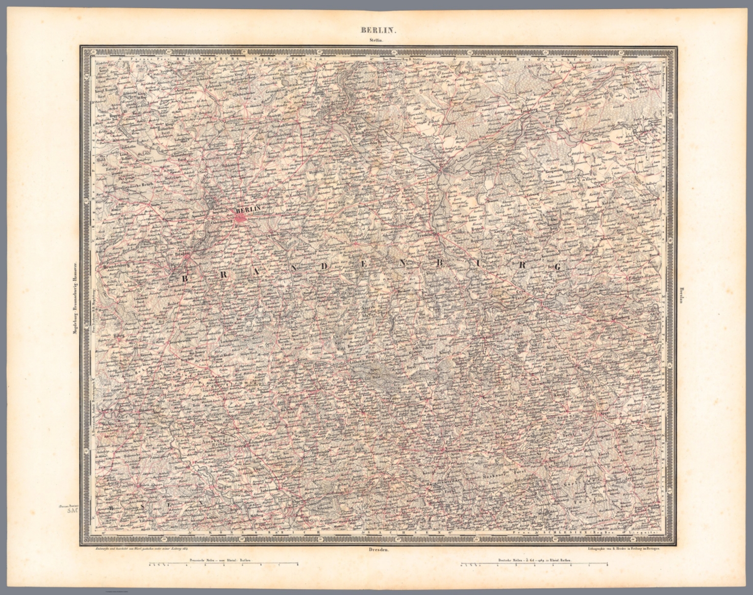
Berlin

Map
(18-19) Deutschland Ausstellung. 18. Juli bis 16. August 1936