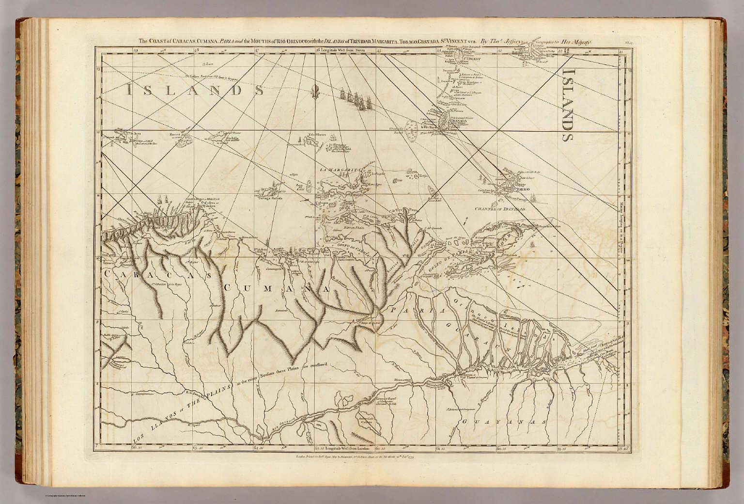
Graphic/Map·1775·VenezuelanDrift →Map1775The coast of Caracas, Cumana, Parla and the mouths of Rio Orinoco.Map of the coast of Caracas, Cumana, Parla, and the mouths of Rio Orinoco from 1775. Closest kinMapSouth America. Venezuela. Colombia. Ecuador.MapPlano topografico, Ciudad del Cuzco.MapComposite: West Indies.MapText: (con't) Cyprus insula, cum Stalimene, Chio, Mitylene, Negro-ponte, Cerigo et Rhodo insulis. (with) Persicum Regnum, sive Sophorum imperium.