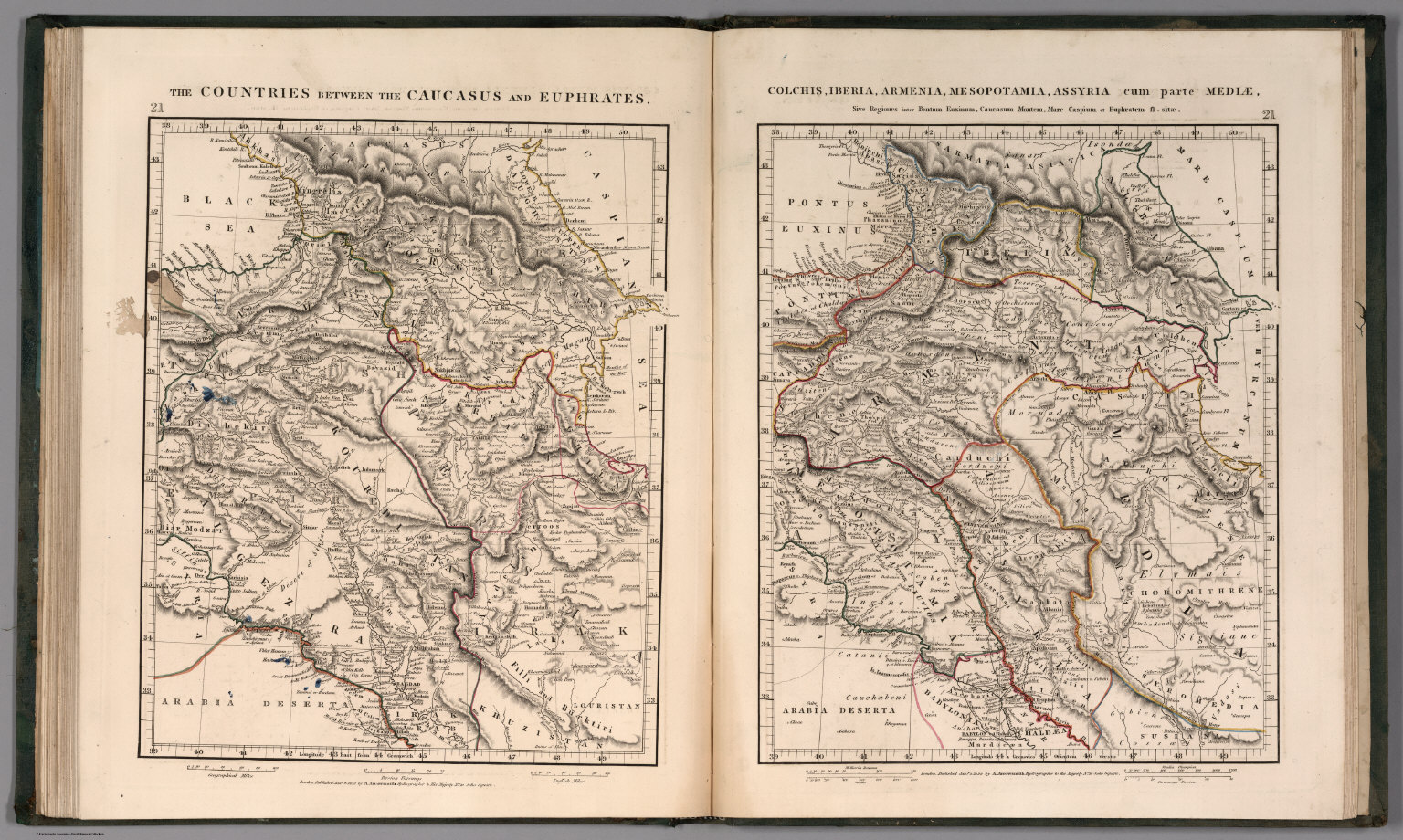
Graphic/Map·1828Drift →Map1828The countries between the Caucasus and EuphratesMap depicting the regions between the Caucasus and Euphrates rivers from 1828. Closest kinMapSyria et Assyria.Map(W. Sheet) Outlines of the Countries Between Delhi and Constantinople By A. Arrowsmith 1814. Additions to 1816.MapCountry of the NestoriansMapEuphrates Valley, Syria, Kurdistan &c.MapEuphrates Valley, Syria, Kurdistan &c.