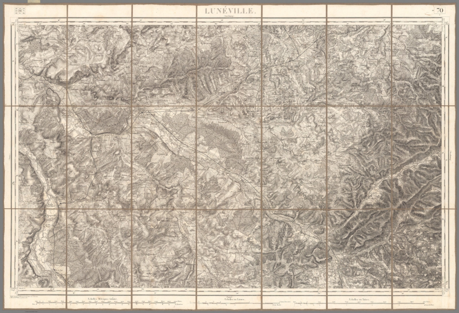
Graphic/Map·1835Drift →Map183570. Luneville.Map of Luneville from 1835. Closest kinMapText Page: Fifteenth Period (continued). From A.D. 1100 to A.D. 1294.MapLitthauen ; Ost-Preussen. No. 6MapNo. 1: General map of the countries mentioned in the BibleMapText: Histoire de la Navigation ... la Guinee, Congo, Angola ....(continued).