
Map
1830Text Page: Fifteenth Period (continued). From A.D. 1100 to A.D. 1294.
Map depicting the Fifteenth Period from A.D. 1100 to A.D. 1294, created in 1830.
Closest kin

Map
Text Page: Ninth Period. From the Birth of Christ to 337 A.D.

Map
Europe : Physique et politique

Map
Pl. XVI. Paris in 1630.
Map
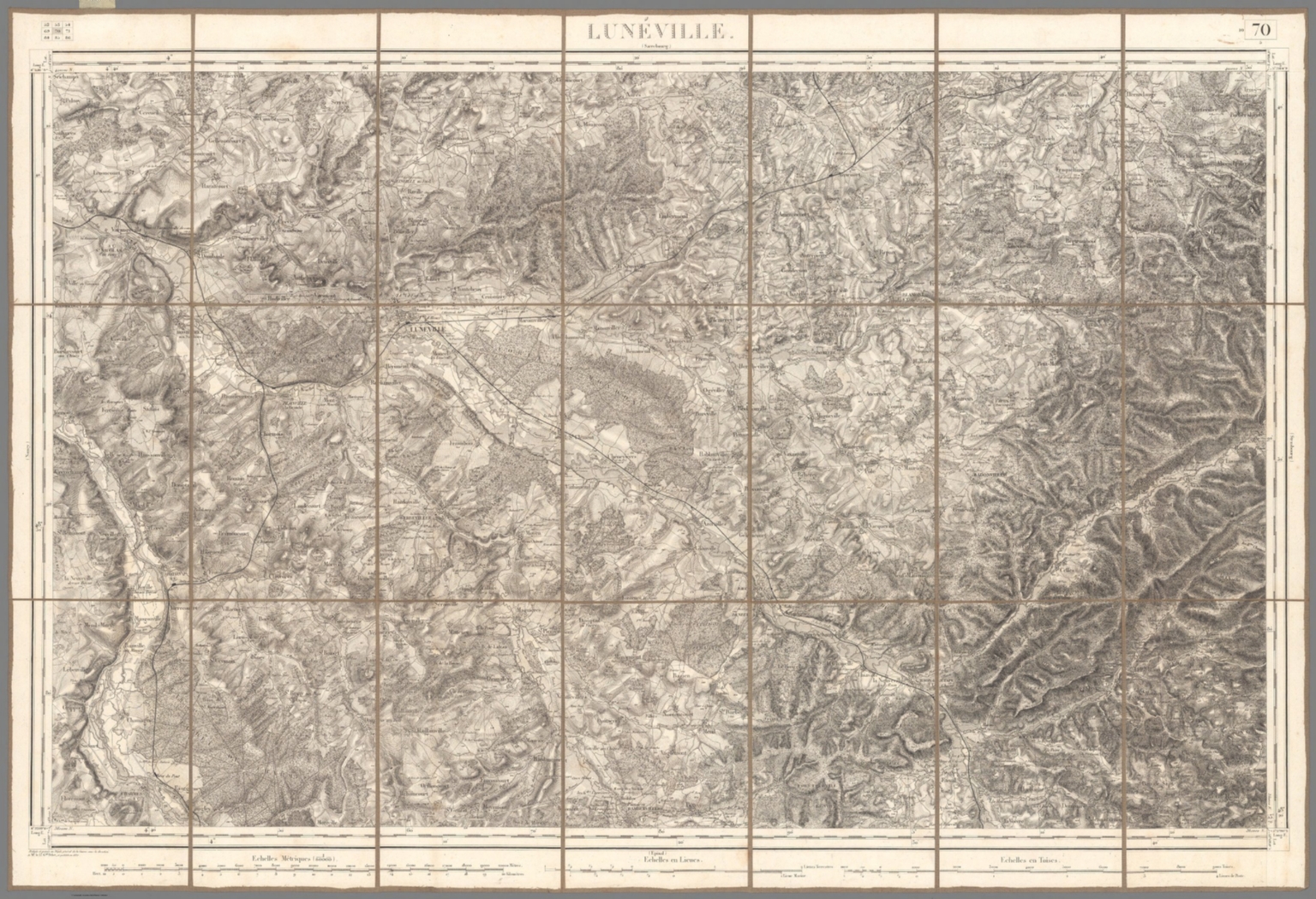
70. Luneville.
Map
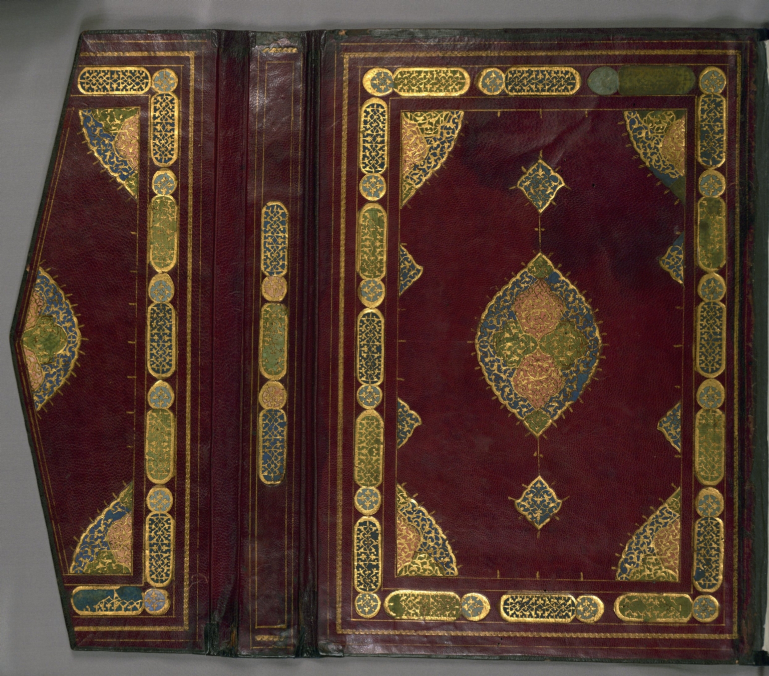
Lower board inside flap open

Map
Exploration and settlement : 1675-1800.

Map
No. 1: General map of the countries mentioned in the Bible

Map
Text: Commercial Section (continued).