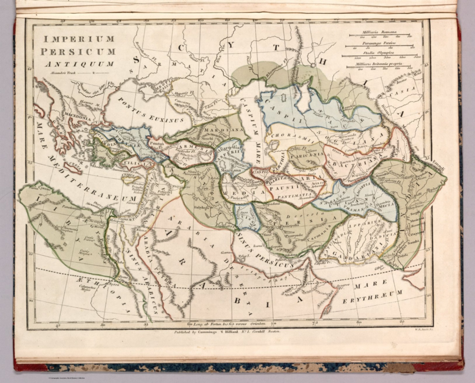
Map
1817Imperium Persicum Antiquum
A detailed, hand-colored historical map depicting the extent of the Persian Empire in antiquity. The composition is highly structured, utilizing cartographic conventions of the era, with labeled geographical features, borders, and textual annotations. The overall layout is balanced and academic.
Engraving or lithography, hand-colored. The style suggests a scientific or academic publication from the 18th or 19th century, typical of large-scale historical atlases.
Closest kin

Map
11. Egyptus. 12. Syria.

Poster
The Festival of the Expected Pan-Hellenic Rising — Greek map

Poster
Nátisk typografie - Receptář barevného dřevorytu

Print
Josef Čapek: Obličej, typografie
Commercial Type
Studio
Commercial Type

Designer
Tadao Ando

Painting
Kallmünz: city view - Johann Georg Hämmerl (1757)

Type in Use
Coqodaq