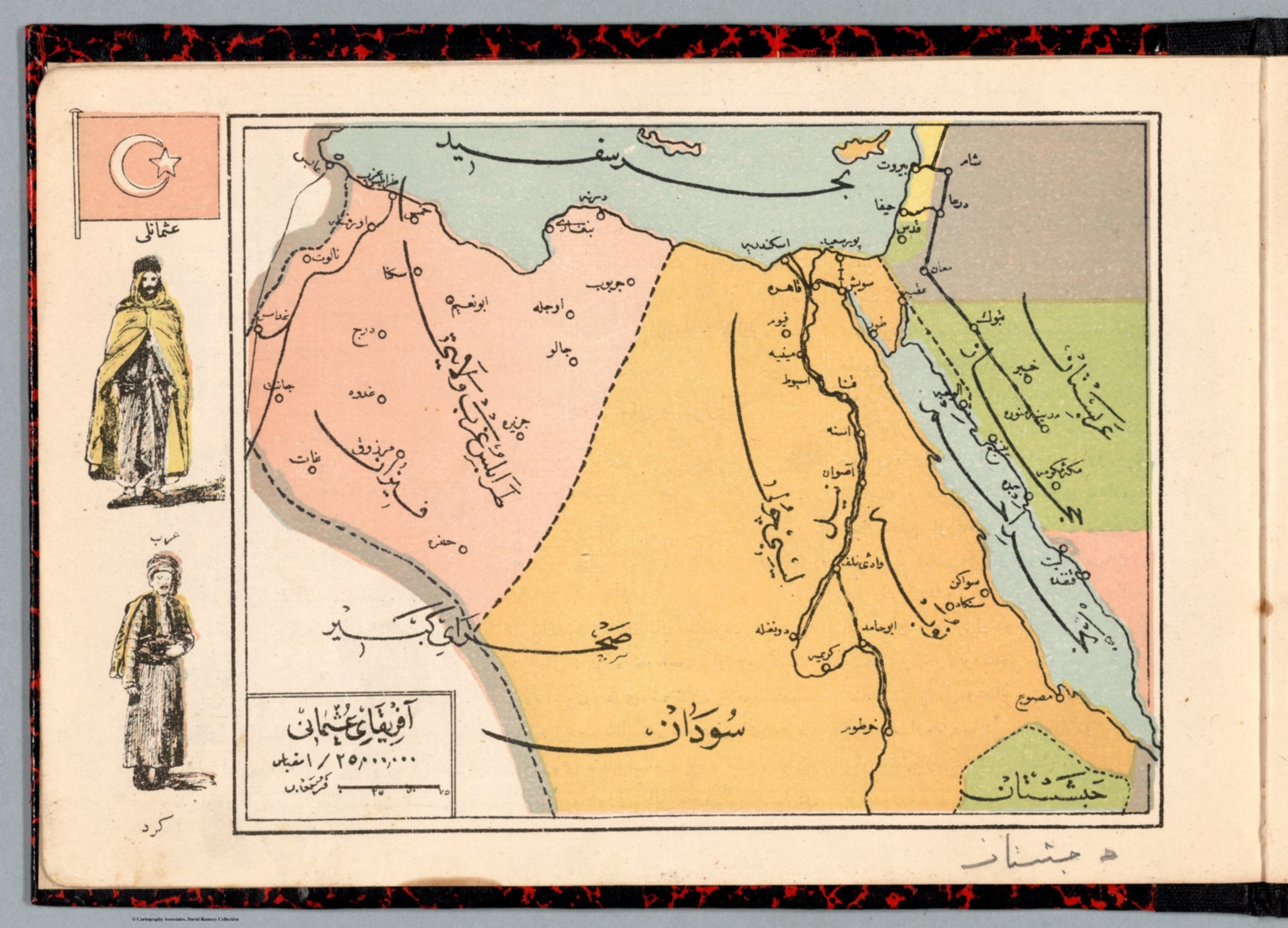
Map
1883Nemaha City to Falls City
The composition is a large, vertical, and highly detailed cartographic drawing. It features topographical lines, labeled settlements (Nemaha City, Falls City), and natural features like rivers (Missouri River). The overall layout is functional and informational, typical of 19th-century survey maps.
The technique appears to be hand-drawn ink and pencil on aged, cream-colored paper. The lines are faint and faded, suggesting it is an archival or preparatory draft map, possibly incorporating multiple layers of information (survey lines, settlement boundaries, river courses).