Map
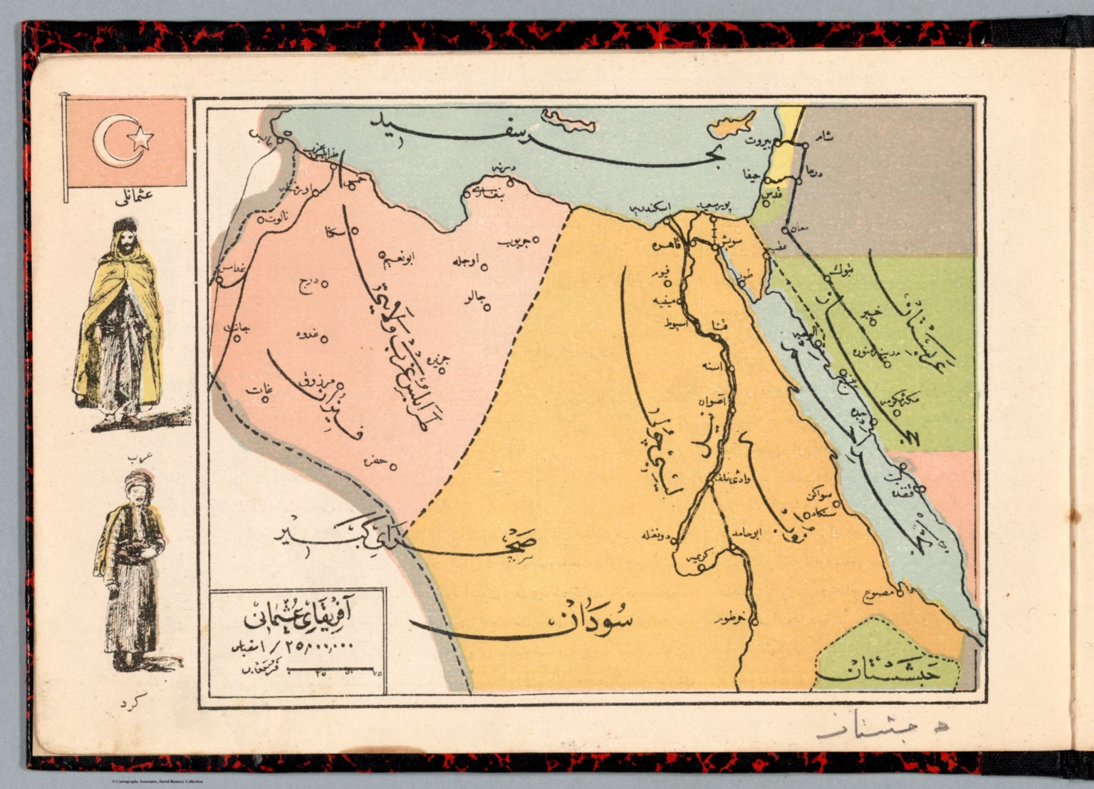
1907Afrika-i Osmanî
The composition is a detailed, hand-drawn map, framed by decorative borders. The map itself is divided into labeled regions, using varying shades of color and lines to denote political boundaries and geographical features. The overall layout is structured and academic.
The technique appears to be a lithograph or engraving, typical of 19th-century cartography. The use of watercolor washes for coloring suggests a printing process that allowed for manual color application.


