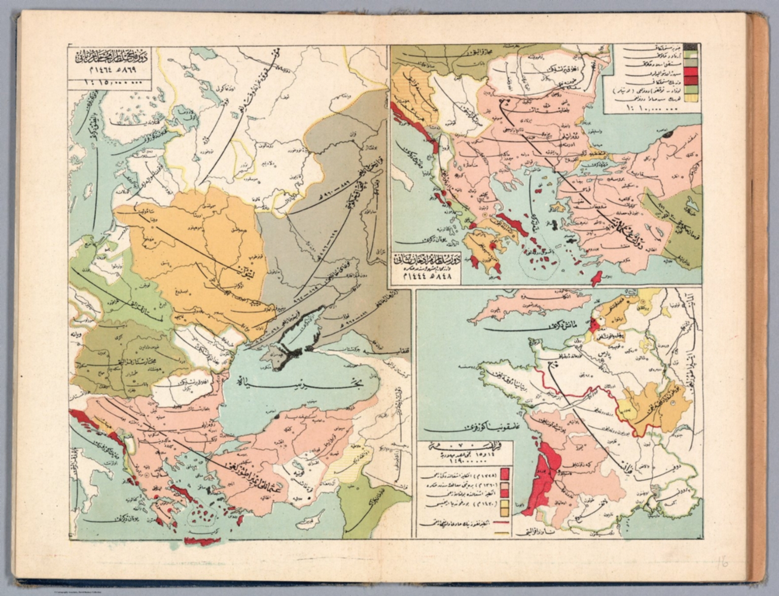
Map
1913Ottoman Empire
A large, multi-panel map spread, likely from a book or atlas. The composition is highly structured, divided into several distinct geographical sections, each with its own legend and scale. The overall layout is dense with cartographic information.
Hand-drawn or lithographed map printing, characterized by muted, earthy tones and fine line work. The use of color coding is systematic to differentiate political boundaries and geographical features.


