
Map
1907Memalik Osomania = Ottoman Empire
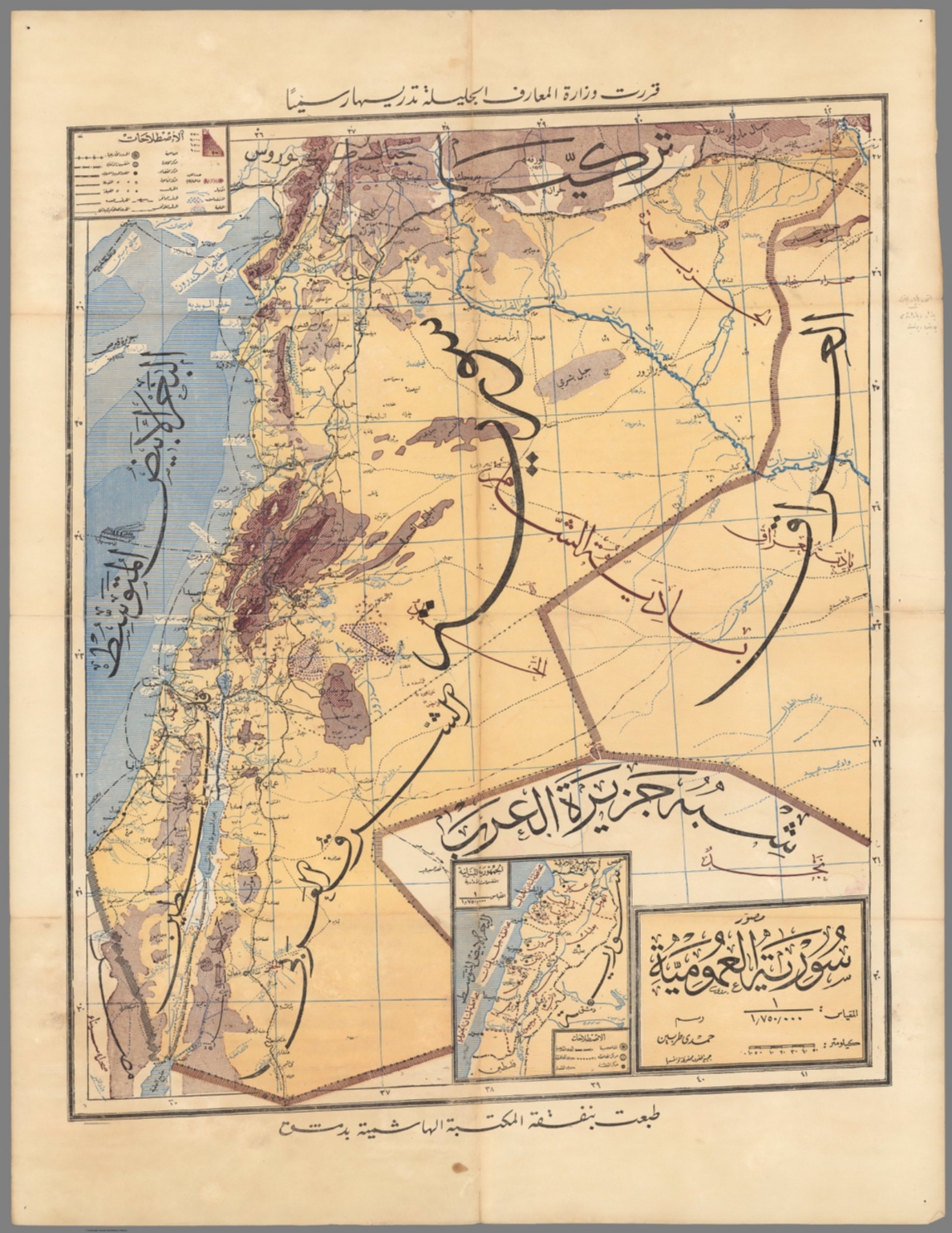
The map is highly detailed, featuring geographical boundaries, place names written in Arabic script, and various colored regions to denote different political or ethnic areas. The overall composition is typical of late 19th or early 20th-century cartography, with a clear title block and scale indicators.
The map appears to be a lithograph or printed plate, characterized by hand-drawn elements and colored washes applied to delineate regions. The use of multiple colors (yellow, green, pink, beige) helps distinguish neighboring territories.
Closest kin
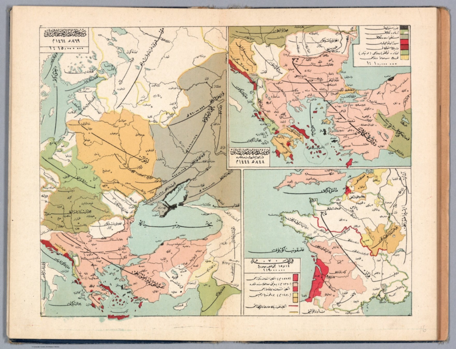
Map
Ottoman Empire
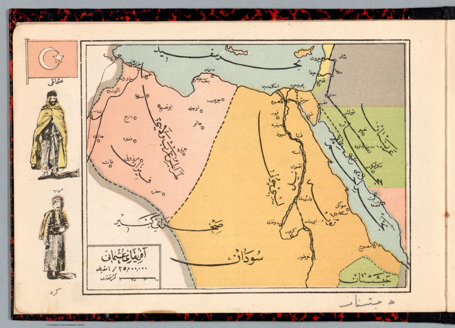
Map
Afrika-i Osmanî
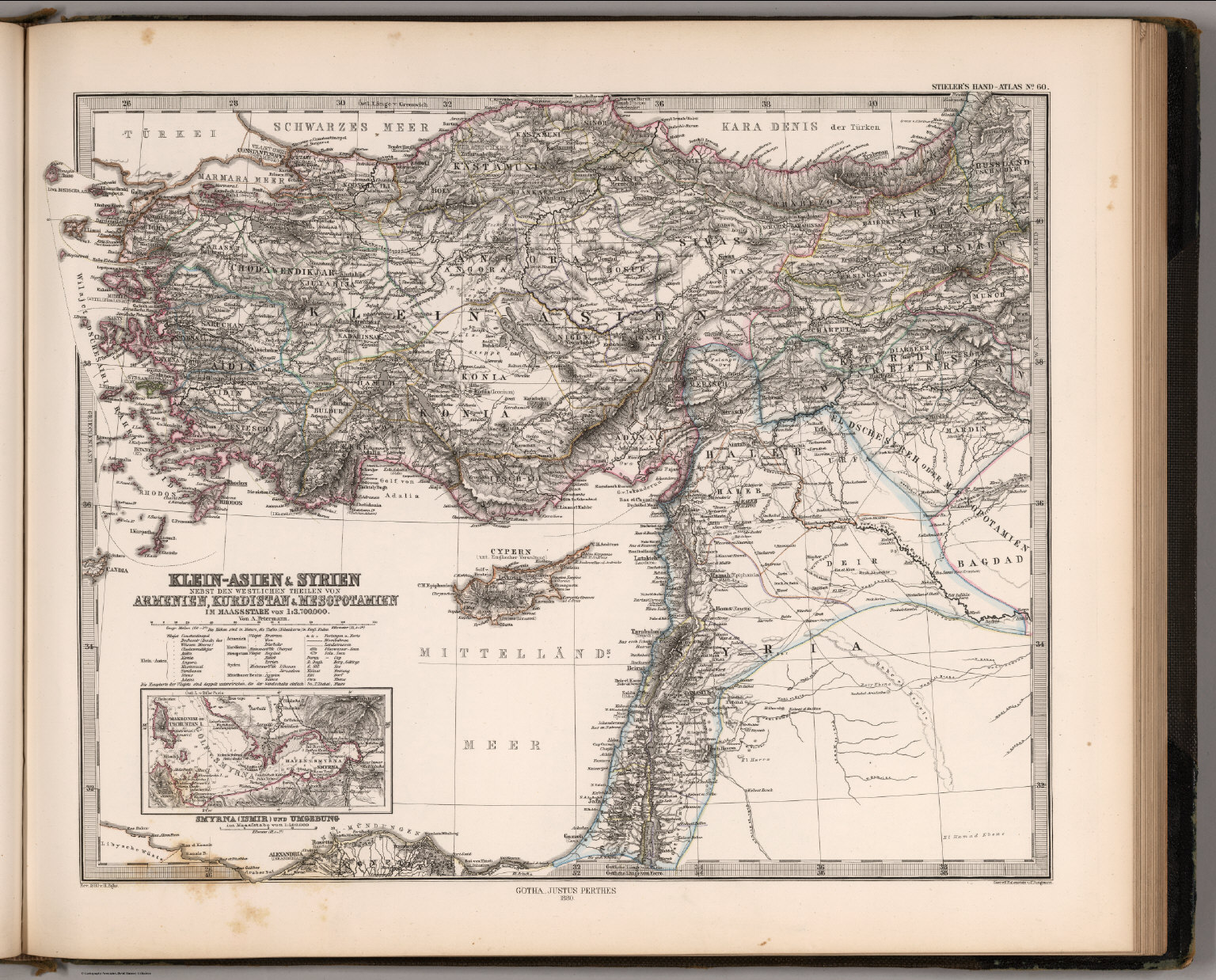
Map
Klein-Asien & Syrien, Armenien, Kurdistan & Mesopotamien (Asia Minor, Syria, Kurdistan, Mesopotamia).

Map
Die Euphrat-Tigris-Lander oder Armenien, Kurdistan und Mesopotamien

Map
Klein-Asien & Syrien ... Armenien, Kurdistan & Mesopotamien. (Turkey, Syria, Iraq, Israel).
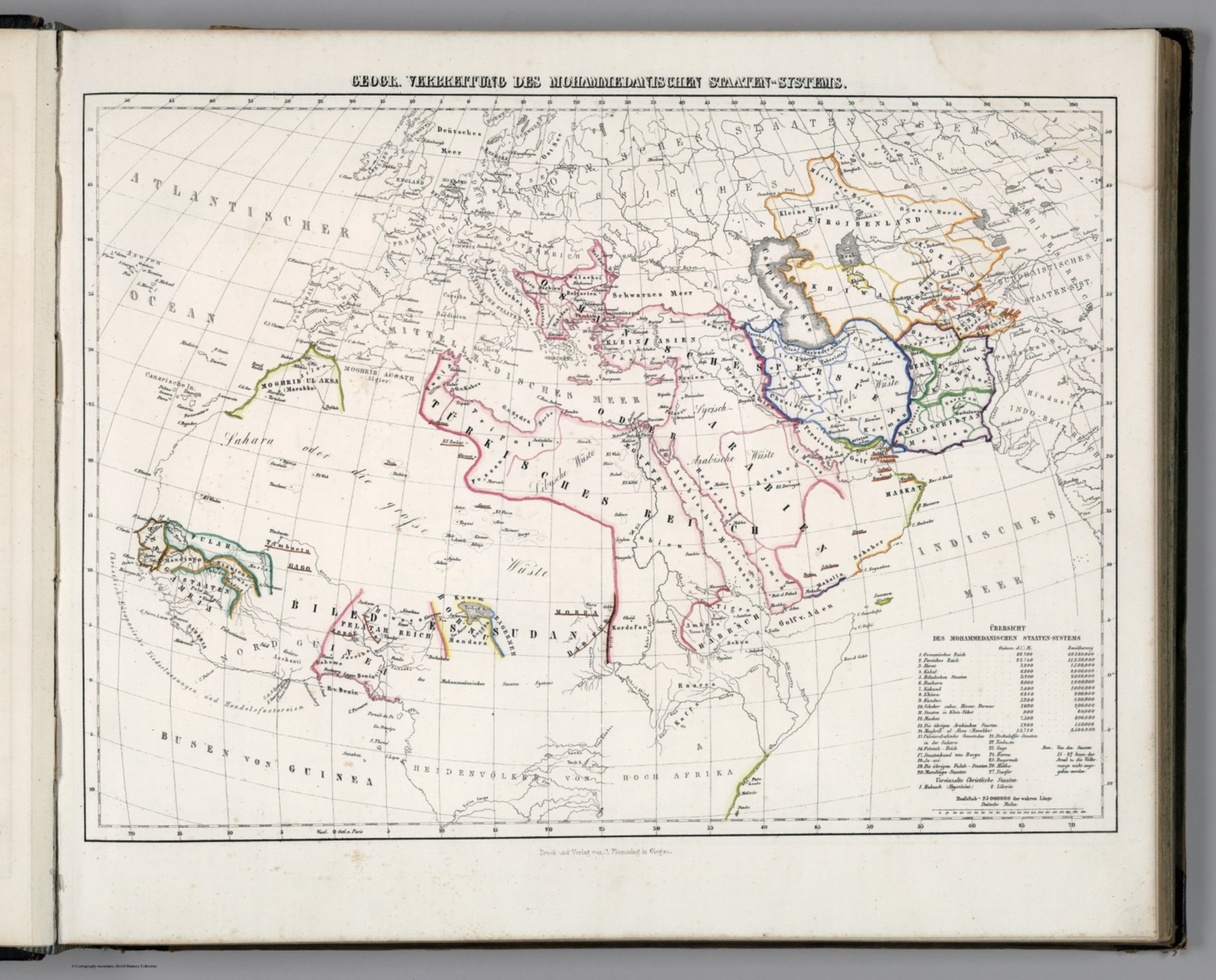
Map
Geogr. Verbrettung des Mohammedanischen Staaten-Systems.

Map
Dowlat Osmanieh 1227-1290 = Ottoman dynasty 1227-1290
Map
Syria (سورية )