Map
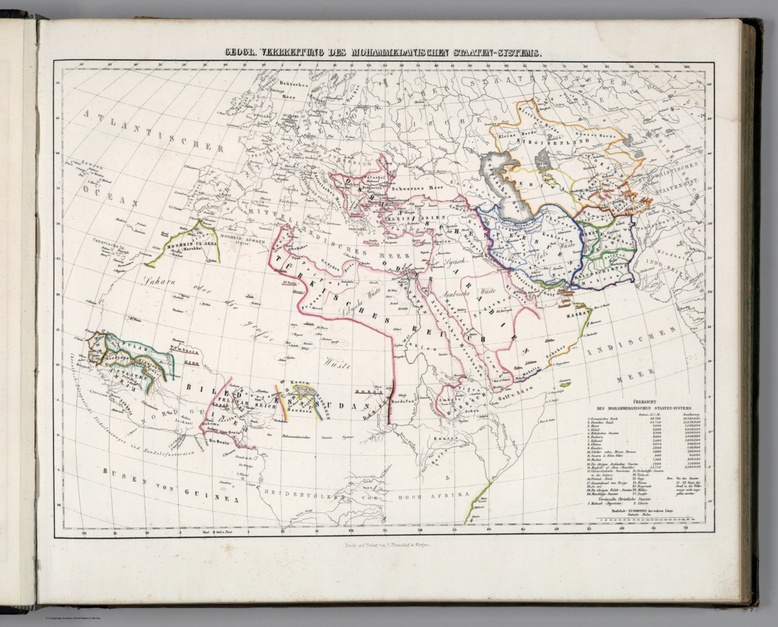
1846Geogr. Verbrettung des Mohammedanischen Staaten-Systems.
A detailed, hand-colored, printed map depicting the geopolitical boundaries and regions of the 'Mohammedanischen Staaten-Systems' (Islamic States System). The composition is highly structured, utilizing cartographic conventions, labels, and decorative borders typical of 19th-century scientific publications.
Engraving or lithography, hand-colored. The style is characteristic of academic cartography from the 19th century, featuring fine lines, topographical details, and color washes to delineate political boundaries and geographical features.
Closest kin

Map
No. 4. Geogr. Verbreitung des Mohammedanischen Staaten-Systems

Map
Die Euphrat-Tigris-Lander oder Armenien, Kurdistan und Mesopotamien
Map
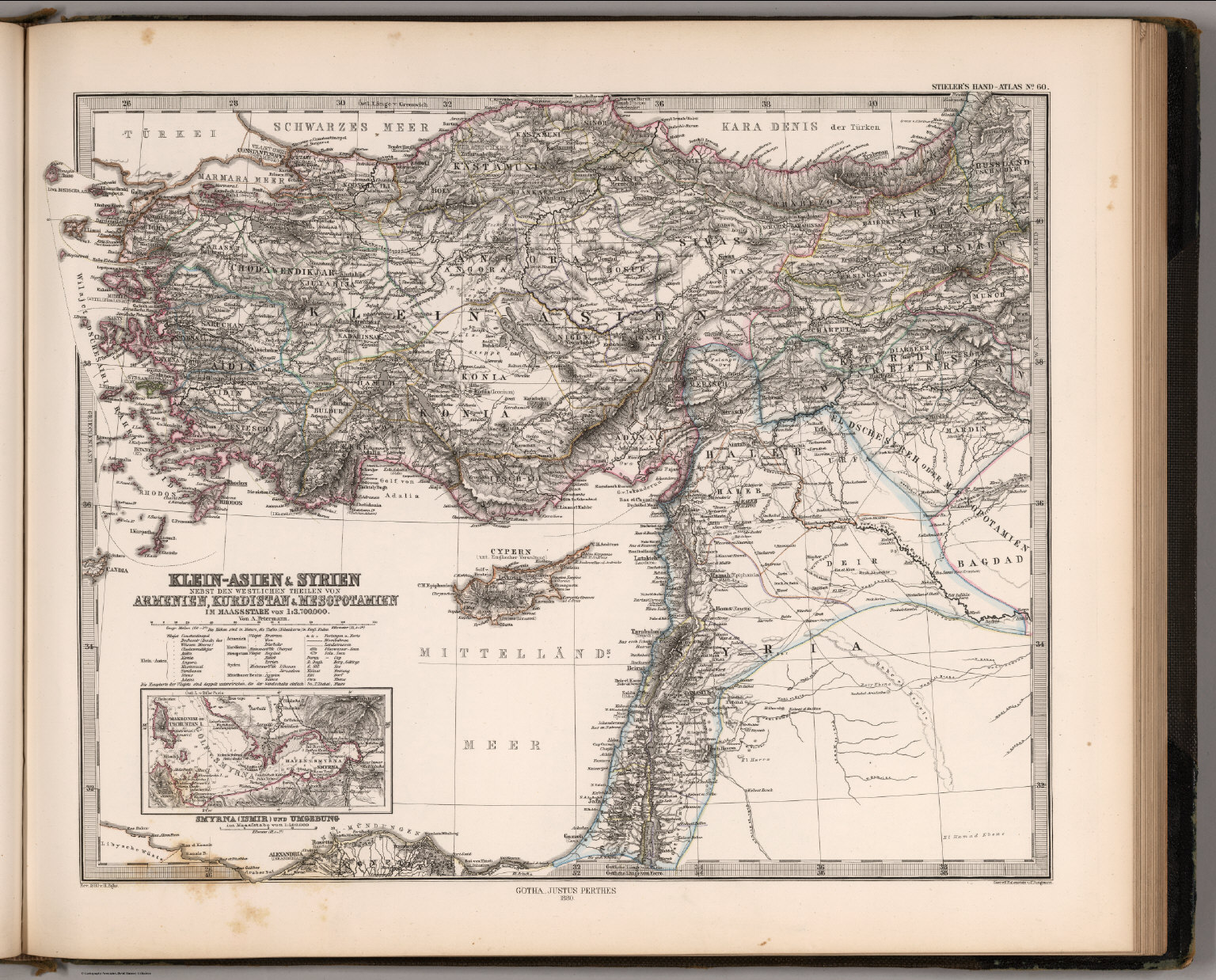
Klein-Asien & Syrien, Armenien, Kurdistan & Mesopotamien (Asia Minor, Syria, Kurdistan, Mesopotamia).

Map
Memalik Osomania = Ottoman Empire
Map
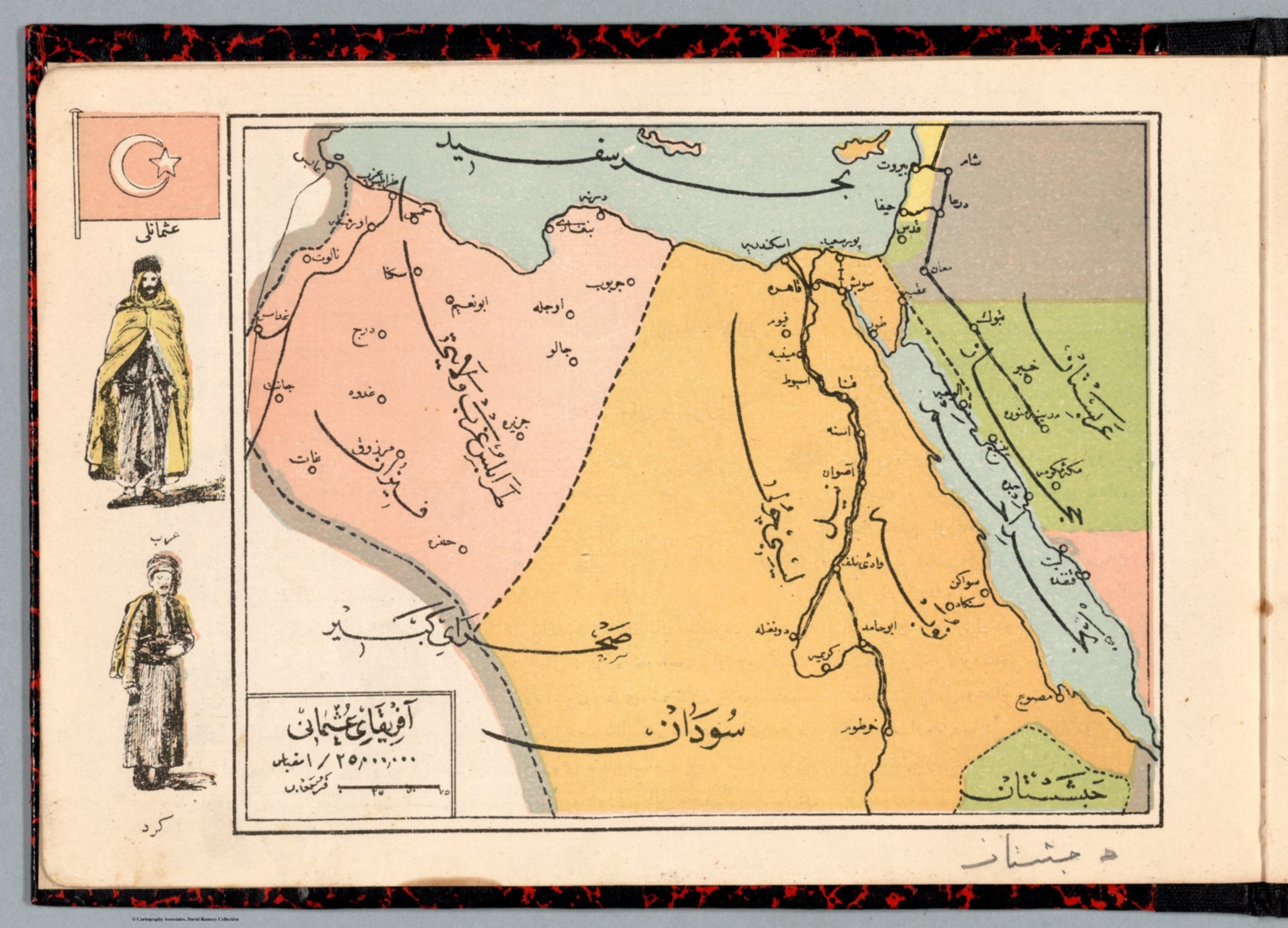
Afrika-i Osmanî

Map
No. 83. VIII. Die Lander des Islam, 1055-1163
Map
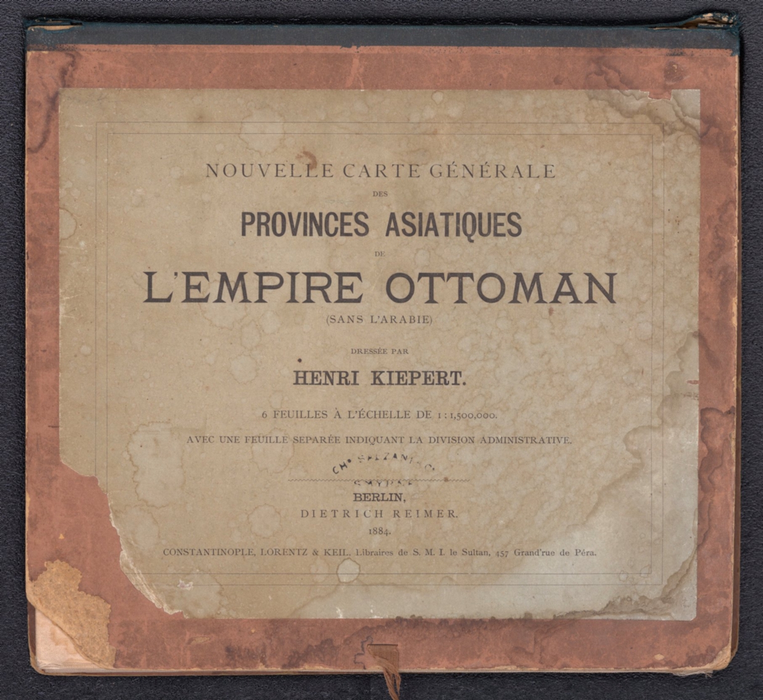
Covers: Nouvelle carte generale des provinces asiatiques de L'empire Ottoman

Map
Geographie des Hebreux.