Map
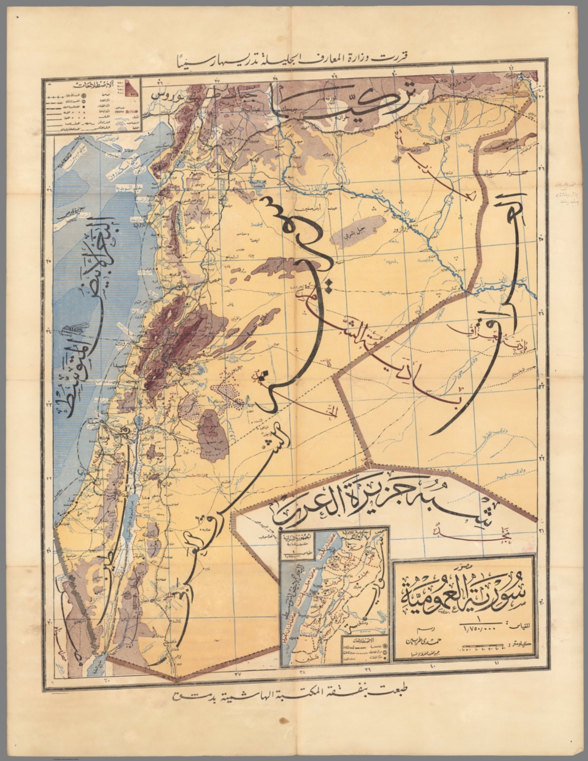
1935Syria (سورية )
The map is highly detailed, featuring topographical and political boundaries. The composition is structured with a central geographical area surrounded by cartographic elements, including legends and inset maps, typical of early 20th-century publications.
The map appears to be a lithograph or engraving, printed on aged paper. The use of varying shades of brown, blue, and beige suggests hand-coloring or careful printing techniques to denote different terrains and bodies of water.
Closest kin

Map
Klein-Asien & Syrien ... Armenien, Kurdistan & Mesopotamien. (Turkey, Syria, Iraq, Israel).

Map
Routes de premire classe : Actuelles ou inscrites dans le 4ᵉ Plan.

Map
Autoroutes : Actuelles ou inscrites dans le 4ᵉ Plan.

Map
Memalik Osomania = Ottoman Empire
Kurdish Language and its Dialects: Distribution
Map
Kurdish Language and its Dialects: Distribution