Map
1976Autoroutes : Actuelles ou inscrites dans le 4ᵉ Plan.
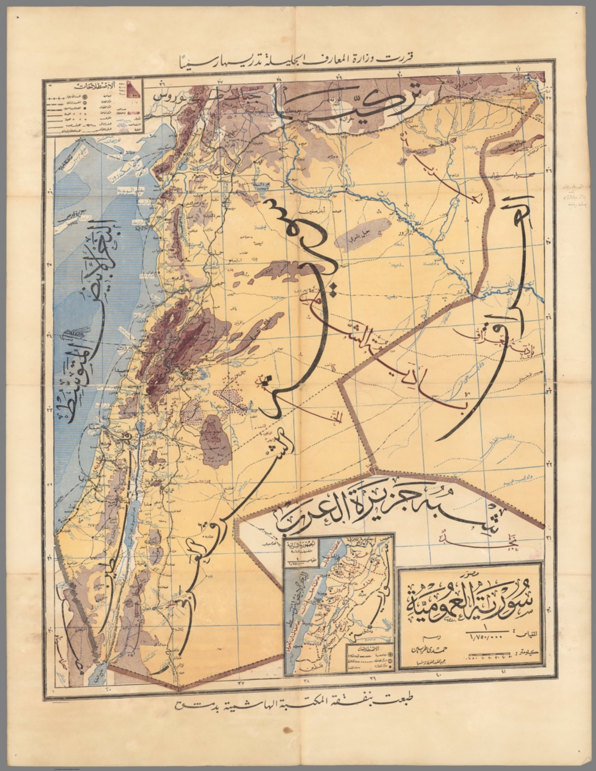
A detailed, hand-drawn map style, typical of governmental or academic publications from the mid-20th century. The layout is highly structured, featuring a title block, legend, and geographical boundaries. The main focus is on the network of proposed and existing highways across the Levant region.
Ink and pencil drawing on paper, characteristic of cartography. The use of different line weights and colors (blue/green/black) is employed to distinguish between different types of infrastructure (existing, planned, etc.).