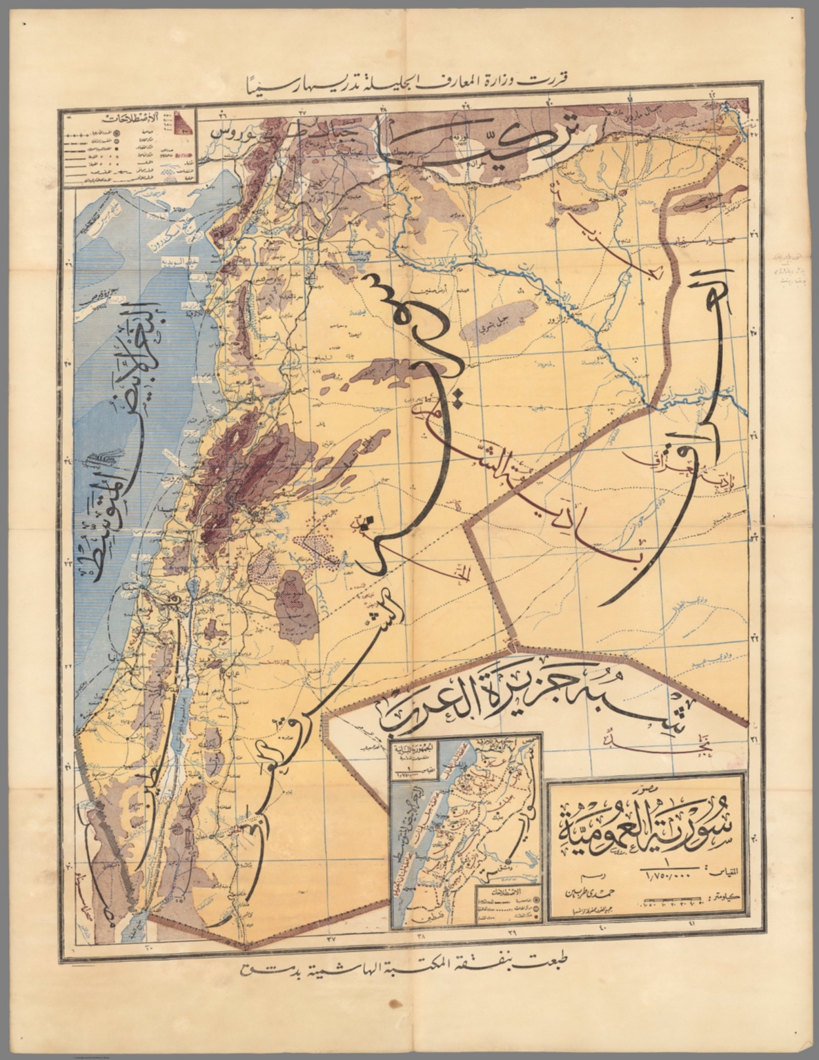
Map
1976Routes de premire classe : Actuelles ou inscrites dans le 4ᵉ Plan.
This is a detailed, color-coded map showing planned and existing primary routes (Routes de Première Classe) within Syria and surrounding regions. The composition is highly informational, using a clear legend and geographical context to delineate different types of infrastructure and political boundaries.
The map uses traditional cartographic techniques, featuring fine lines, varying colors for different routes (solid red for existing, dashed red for planned), and clear labeling in French. The overall aesthetic is typical of governmental or academic publications from the mid-20th century.