Identity
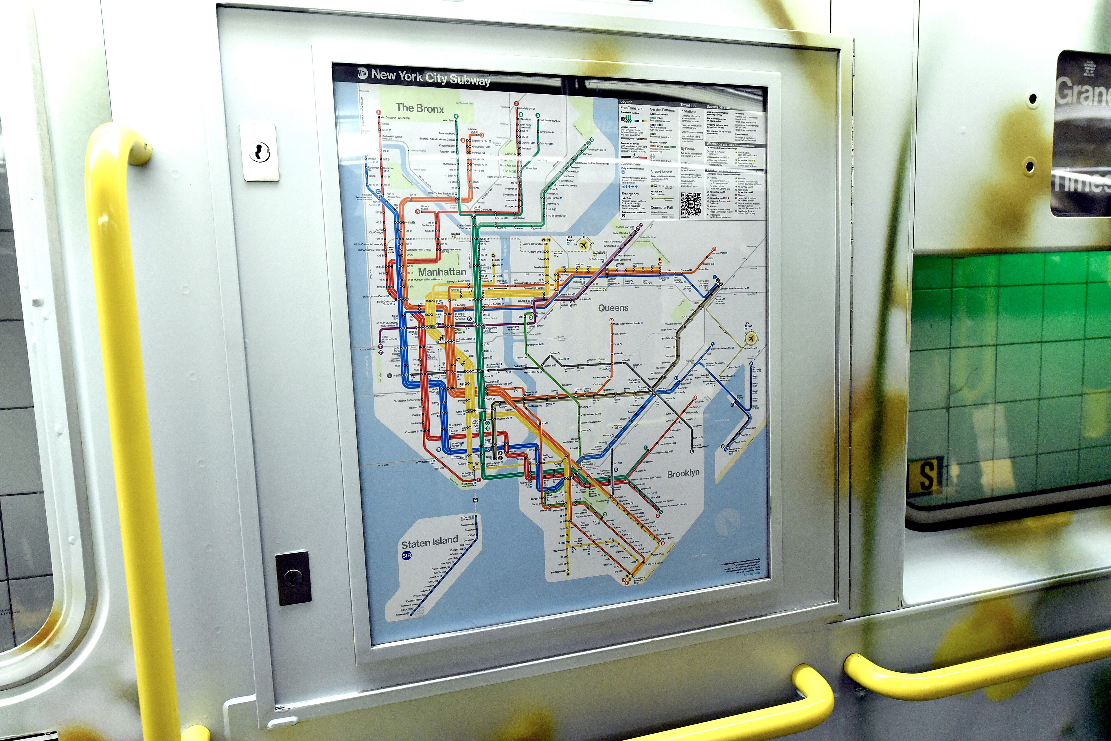
1904New York City Subway map
From Wikipedia
Many transit maps for the New York City Subway have been designed since the subway's inception in 1904. Because the subway was originally built by three separate companies, an official map for all subway lines was not created until 1940, when the three companies were consolidated under a single operator. Since then, the official map has undergone several complete revisions, with intervening periods of comparative stability.
Why It's In The Canon
Stub — needs writeup. Why this entry matters for taste, what to actually study, and how it connects to Yash's work goes here.