
Map
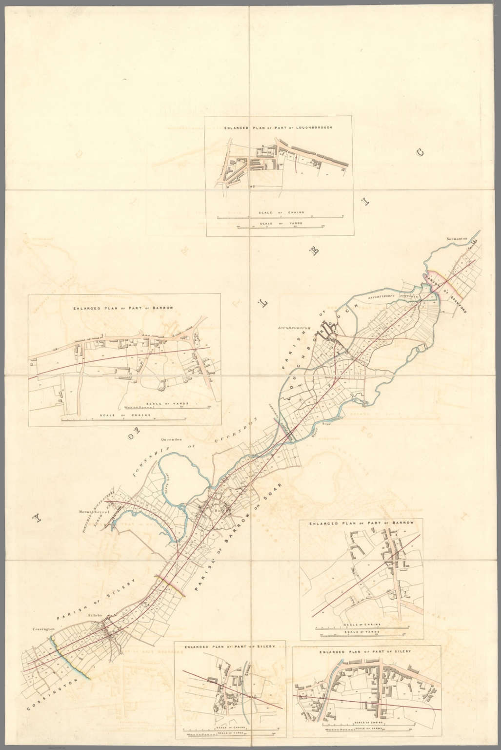
1836(Sheet 1) Map of that portion of the Midland Counties Railway extending from its junction with the London and Birmingham Railway at Rugby to the north side of the River Trent.
Map of the Midland Counties Railway route from Rugby to the River Trent, published in 1836.
Closest kin

Map
(Sheet 2) Map of that portion of the Midland Counties Railway extending from its junction with the London and Birmingham Railway at Rugby to the north side of the River Trent.
Map
(Sheet 5) Map of that portion of the Midland Counties Railway extending from its junction with the London and Birmingham Railway at Rugby to the north side of the River Trent.

Map
(Sheet 4) Map of that portion of the Midland Counties Railway extending from its junction with the London and Birmingham Railway at Rugby to the north side of the River Trent.

Map
Title Page: Report of the Board of Commissioners, of Internal Improvement in Relation to the Examination of Sundry Routes for a Railway from Boston to Providence
Map
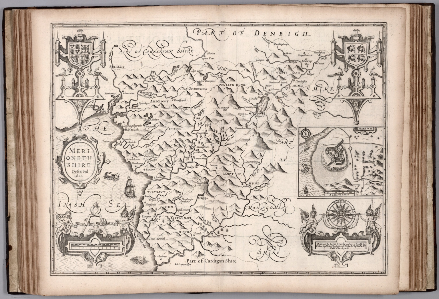
Marionethshire.

Map
Covers: Canals And Rail Roads Of Pennsylvania And New Jersey
Map
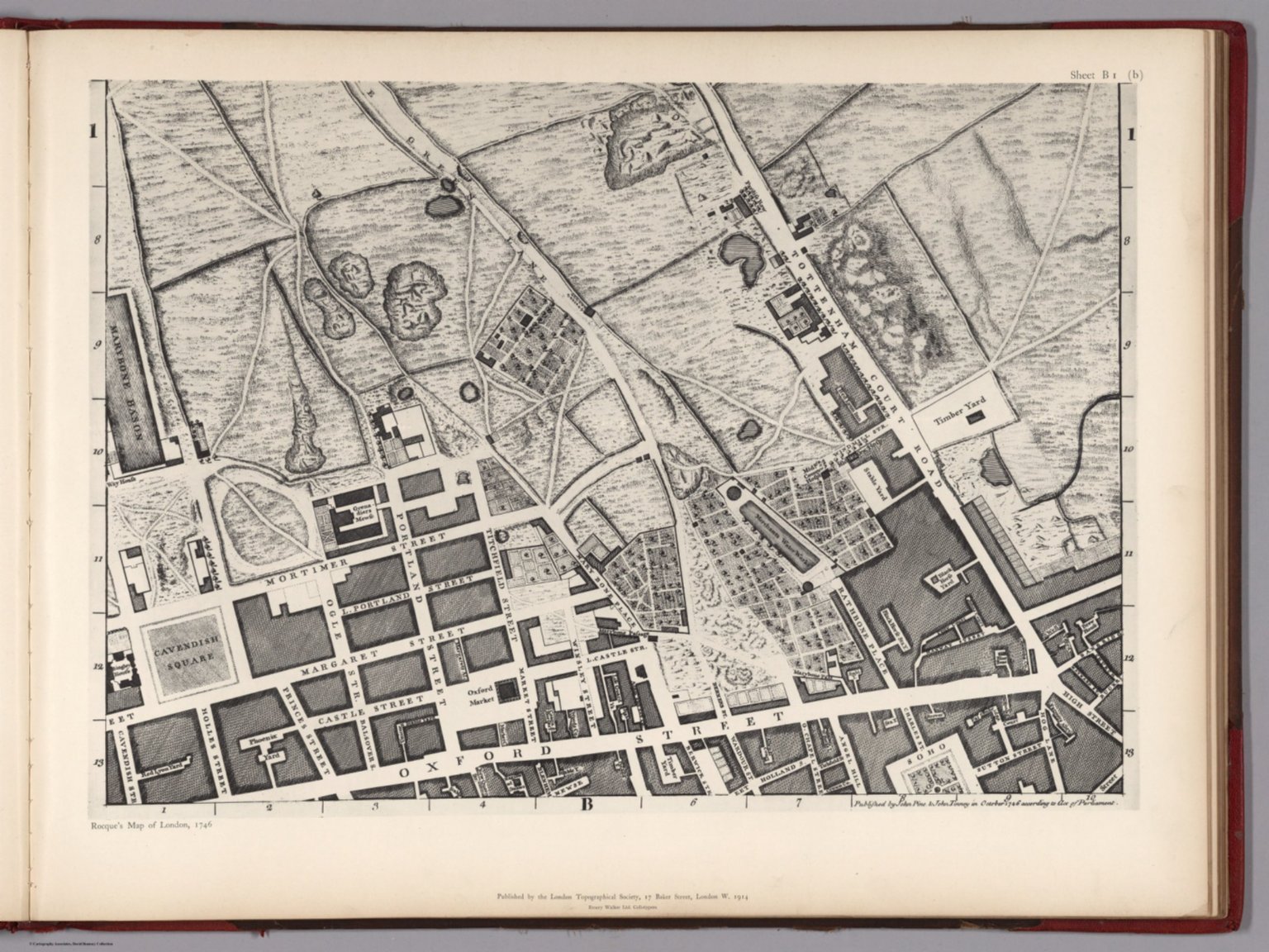
Sheet B 1 (b).

Map
The Provinces of New York, and New Jersey; with part of Pensilvania.