Loading…
geographical representation
A working library of design, type, and visual culture.
74056 references · 9 visual
Collections

Map
1637The Kingdomeof Persia. Persicum Regnum

Map
1777No. 23. Tableau que indique

Map
1816Composite: W. and E. Sheets. Outlines of the Countries Between Delhi and Constantinople By A. Arrowsmith 1814. Additions to 1816.
Map
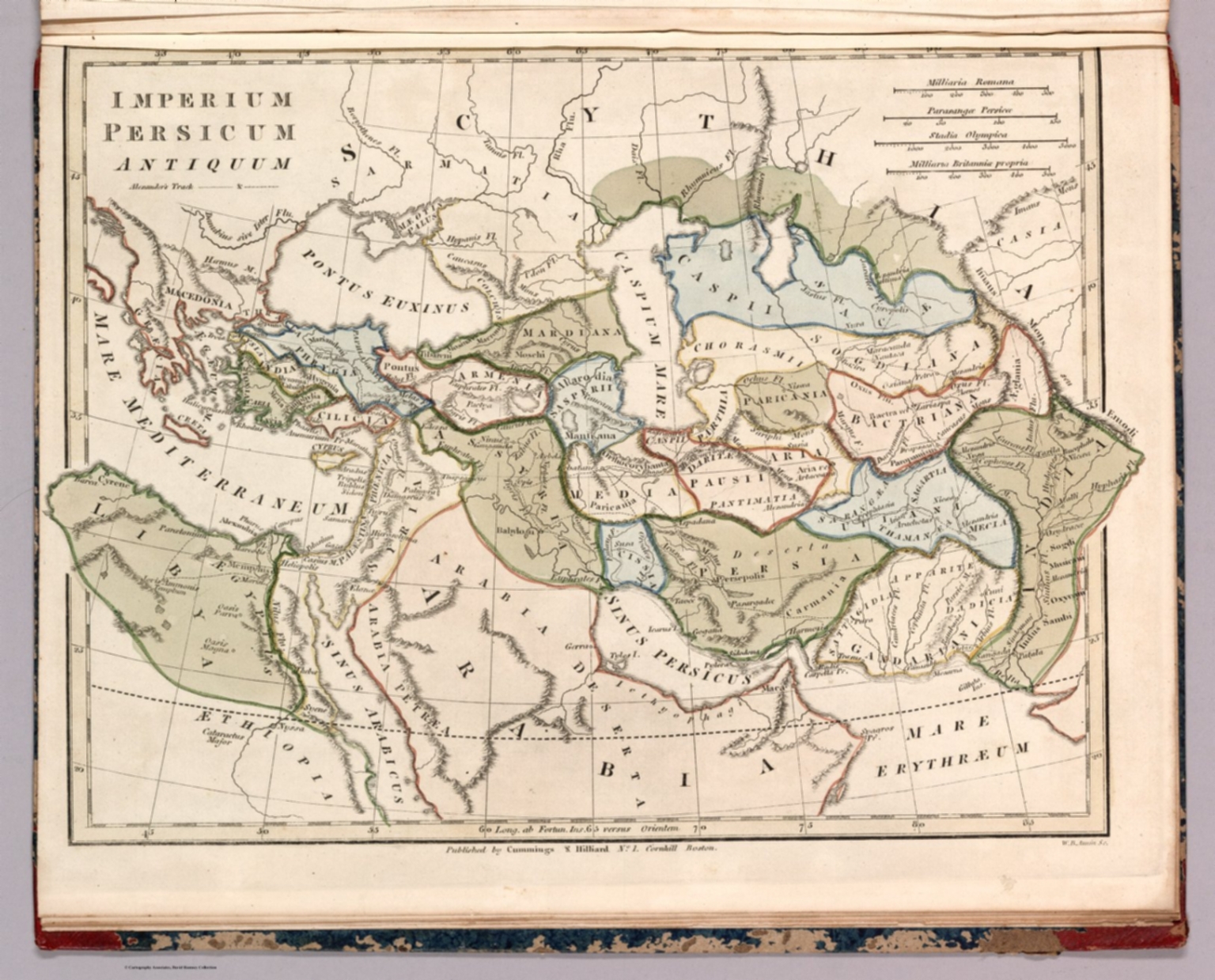
1817Imperium Persicum Antiquum

Map
1635Text: Vol I (58) (with) Vol I (57) (cont'd)
Map
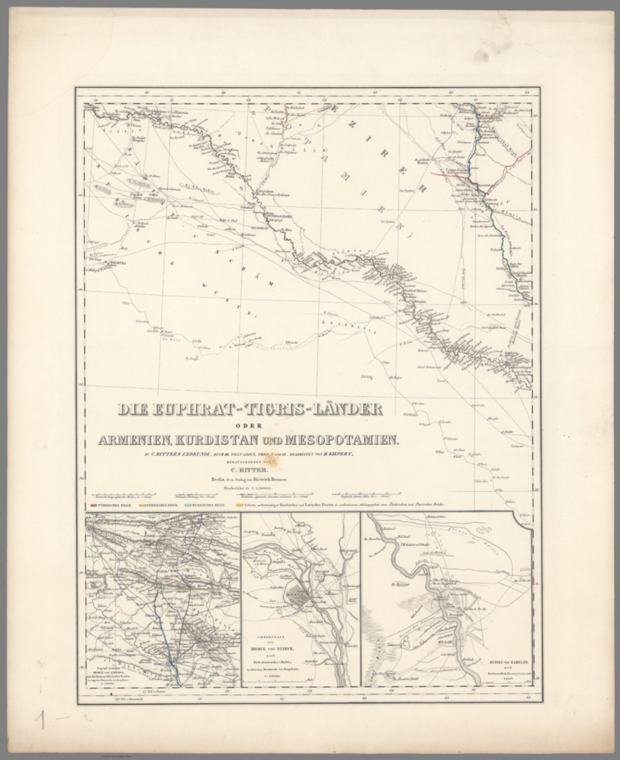
1854Title Page: Die Euphrat-Tigris-Lander oder Armenien, Kurdistan und Mesopotamien

Map
1775Plan of the Bay, Rock and town of Gibraltar, from an actual survey by an officer who was at Gibraltar from 1769 to 1775 ...

Map
1450Mappemonde Pl. 3

Map
1492